UN/LOCODE hub · Australia
AUKNG
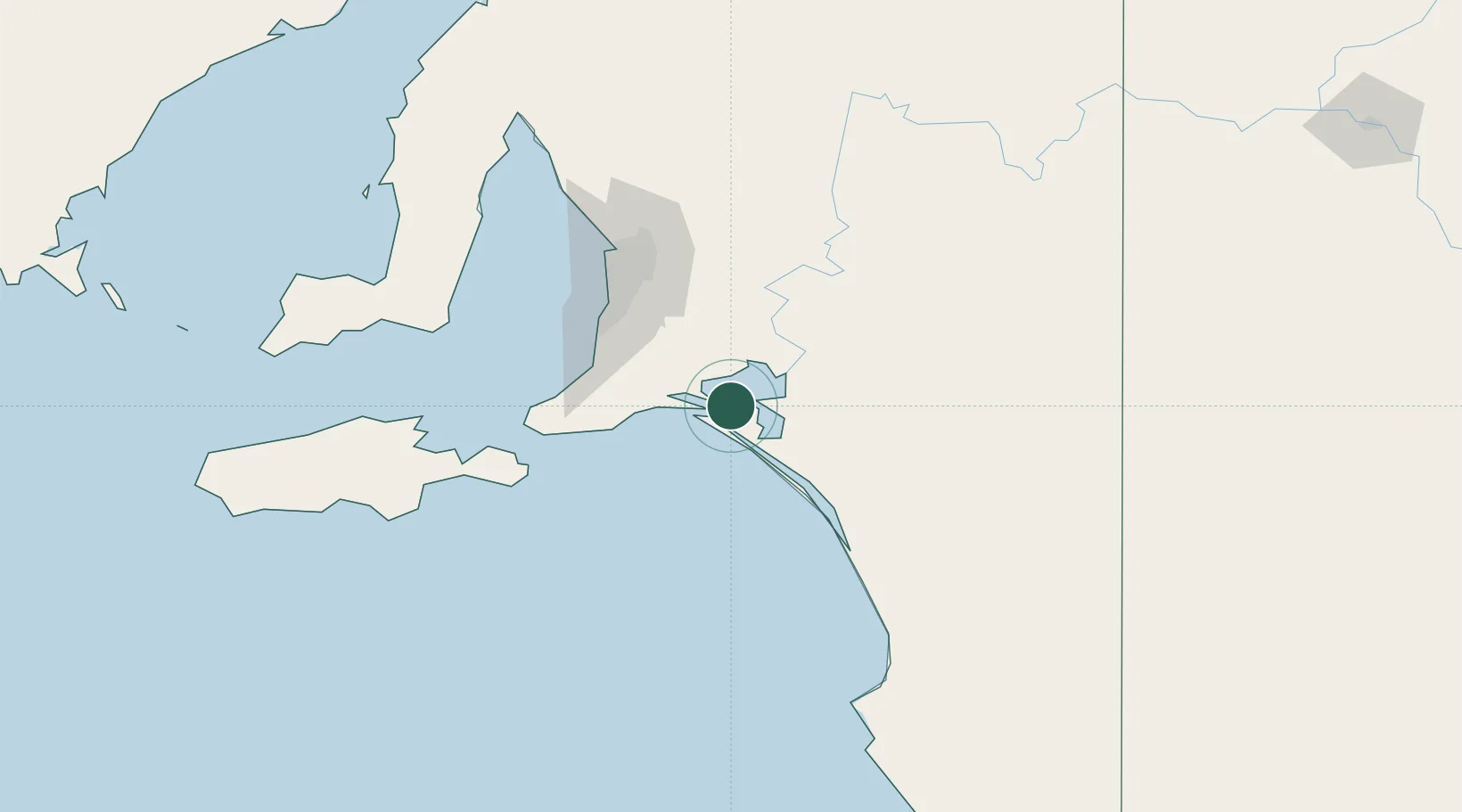
Kensington Gardens
-35.5333°, 139.1000°
2,394
Population
2
Transport functions
Transport Functions
Port
Multimodal
Hub Profile
Place type
Urban district
Region
South Australia
Population
2,394
Time zone
Australia/Adelaide
Elevation
123 m
Location
Nearby Logistics Neighbours
Cities
- 1Goolwa29 km
- 2Belvidere30 km
- 3Langhorne Creek35 km
- 4Victor Harbor44 km
- 5Meadows50 km
Ports
- 1Port Adelaide94 km
- 2Kingscote133 km
- 3Port Giles133 km
- 4Klein Point137 km
- 5Ardrossan163 km
Airports
- 1Adelaide International Airport83 km
- 2RAAF Base Edinburgh102 km
- 3Kingscote Airport144 km
- 4Renmark Airport207 km
- 5Port Pirie Airport275 km
DatabookThe Record of Consolidated Knowledge
Australia beyond logistics?