Transport Functions
Port
Hub Profile
Place type
Urban district
Region
Victoria
Population
549
Time zone
Australia/Melbourne
Elevation
85 m
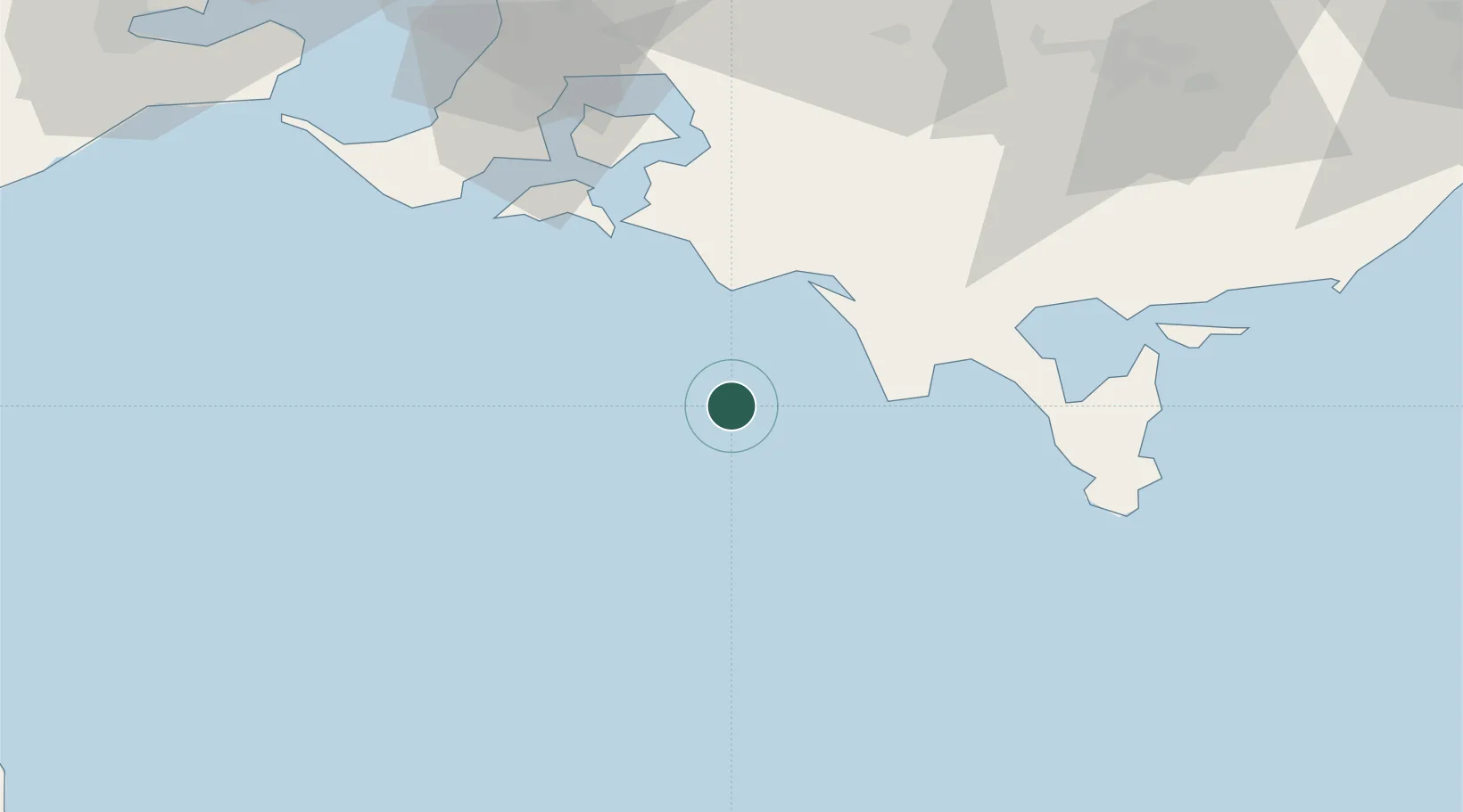
Location
Nearby Logistics Neighbours
Cities
- 1Kongwak45 km
- 2Glen Forbes52 km
- 3Phillip Island58 km
- 4The Gurdies61 km
- 5Tankerton65 km
Ports
- 1Western Port71 km
- 2Welshpool79 km
- 3Melbourne133 km
- 4Geelong137 km
- 5Stanley208 km
Airports
- 1Latrobe Valley Airport109 km
- 2Melbourne Moorabbin Airport113 km
- 3Melbourne Avalon International Airport139 km
- 4Melbourne Essendon Airport146 km
- 5West Sale Airport150 km
Trade Zones
DatabookThe Record of Consolidated Knowledge
Australia beyond logistics?