Medium airport · Australia

Coffs Harbour AirportYCFS
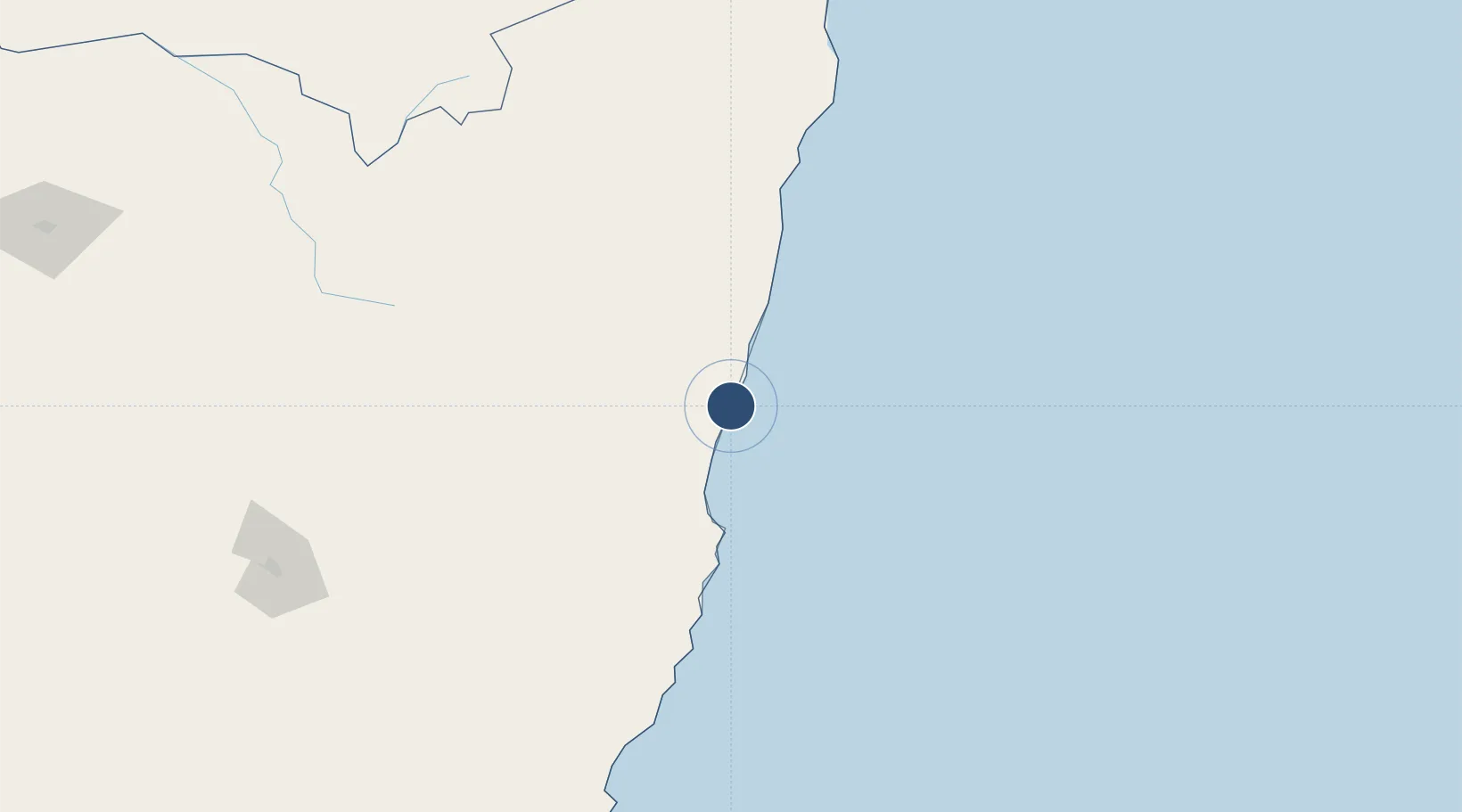
-30.3206°, 153.1160°
6,824 ft
Longest runway
2
Runways
18 ft
Elevation

Runway & Layout

Coffs Harbour Airport runway & taxiway layout
Runway & taxiway layout — OpenStreetMap (ODbL) / OurAirports

Radio Frequencies

ATIS
117 MHz
TWR
118.2 MHz
CTAF
118.2 MHz
FSS
122.6 MHz
BRISBANE CNTR
OurAirports

Navaids

CH VOR-DME Coffs Harbour 117.00 MHz
CH NDB Coffs Harbour 311 kHz
OurAirports

Runways · 2

RunwayDimensions SurfaceTrue headingLit
03/21 6,824 × 148ft Asphalt 041°
10/28 2,785 × 60ft Asphalt 107°
OurAirports

Airport Specifications

IATA code
CFS
OurAirports
ICAO code
YCFS
OurAirports
Airport class
Medium airport
OurAirports
Scheduled service
Yes
OurAirports
Runway surface
Asphalt
OurAirports
Served city
Coffs Harbour
OurAirports

Location

Location of YCFS
Natural Earth 10m (public domain) · New South Wales · YCFS · -30.32, 153.12GoogleOSMYandex

Nearby Logistics Neighbours

Airports
  1. 1Clarence Valley Regional Airport63 km
  2. 2Kempsey Airport90 km
  3. 3Port Macquarie Airport126 km
  4. 4Armidale Airport146 km
  5. 5Glen Innes Airport155 km
Nearest neighbours — logibook spatial index (haversine) over the source coordinates
Cities
  1. 1Kendall147 km
  2. 2Laurieton151 km
  3. 3Bobin174 km
  4. 4Binna Burra184 km
  5. 5Wingham186 km
Nearest neighbours — logibook spatial index (haversine) over the source coordinates
Ports
  1. 1Ballina167 km
  2. 2Newcastle315 km
  3. 3Brisbane317 km
  4. 4Sydney434 km
  5. 5Botany Bay446 km
Nearest neighbours — logibook spatial index (haversine) over the source coordinates
Trade Zones
  1. 1Latrobe Valley Economic Growth Zone1075 km
  2. 2Vanuatu Economic Development Zone2183 km
  3. 3Paga Hill Estate Special Economic Zone2398 km
  4. 4Hicks Bay Area Special Economic Zone2436 km
  5. 5Tulagi Island Special Economic Zone2470 km
Nearest neighbours — logibook spatial index (haversine) over the source coordinates
DatabookThe Record of Consolidated Knowledge
Australia beyond logistics?
Browse databook

All Sources

AirportsOurAirports
Public domain
Portsthe NGA World Port Index
Public domain (US gov)
LocationsUN/LOCODE
UN/LOCODE — free
Trade Zonesthe World Bank SEZ database
CC BY 4.0
Trade ZonesOpen Zone Map
CC BY
InfrastructureOpenStreetMap
ODbL 1.0
← Australia airports