Transport Functions
Port
Multimodal
Hub Profile
Place type
Populated place
Region
Victoria
Population
7,700
Time zone
Australia/Melbourne
Elevation
50 m
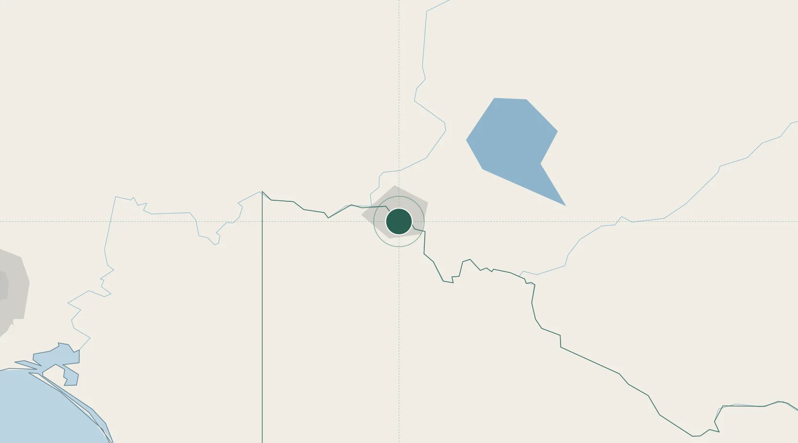
Location
Nearby Logistics Neighbours
Cities
- 1Boundary Bend103 km
- 2Moorook167 km
- 3Mindarie189 km
- 4Ivanhoe245 km
- 5Boort251 km
Ports
- 1Port Adelaide342 km
- 2Ardrossan391 km
- 3Port Pirie402 km
- 4Klein Point411 km
- 5Port Giles412 km
Airports
- 1Mildura Airport8 km
- 2Balranald Airport136 km
- 3Renmark Airport137 km
- 4Hopetoun Airport164 km
- 5Swan Hill Airport177 km
Trade Zones
DatabookThe Record of Consolidated Knowledge
Australia beyond logistics?