UN/LOCODE hub · Australia
AUBOT

Boort

-36.1167°, 143.7167°
836
Population
2
Transport functions

Transport Functions

Port
Multimodal
UN/LOCODE

Hub Profile

Place type
Populated place
GeoNames
Region
Victoria
GeoNames
Population
836
GeoNames
Time zone
Australia/Melbourne
GeoNames
Elevation
94 m
GeoNames

Location

Location of AUBOT
Natural Earth 10m (public domain) · Victoria · AUBOT · -36.12, 143.72GoogleOSMYandex

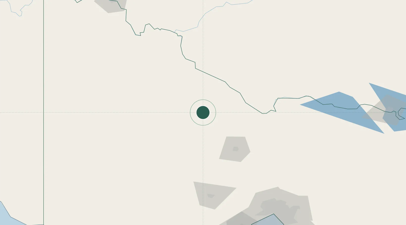
Nearby Logistics Neighbours

Cities
  1. 1Bridgewater-on-Loddon58 km
  2. 2Lockwood89 km
  3. 3Moama94 km
  4. 4Warrenmang109 km
  5. 5Pyrenees110 km
Nearest neighbours — logibook spatial index (haversine) over the source coordinates
Ports
  1. 1Melbourne221 km
  2. 2Geelong233 km
  3. 3Warrnambool276 km
  4. 4Western Port282 km
  5. 5Portland310 km
Nearest neighbours — logibook spatial index (haversine) over the source coordinates
Airports
  1. 1Kerang Airport45 km
  2. 2Swan Hill Airport84 km
  3. 3Bendigo Airport88 km
  4. 4Echuca Airport94 km
  5. 5Warracknabeal Airport119 km
Nearest neighbours — logibook spatial index (haversine) over the source coordinates
Trade Zones
  1. 1Latrobe Valley Economic Growth Zone334 km
  2. 2Paga Hill Estate Special Economic Zone2982 km
  3. 3Ihu Special Economic Zone3143 km
  4. 4Vanuatu Economic Development Zone3263 km
  5. 5Western Province Special Economic Zone3268 km
Nearest neighbours — logibook spatial index (haversine) over the source coordinates
DatabookThe Record of Consolidated Knowledge
Australia beyond logistics?
Browse databook

All Sources

LocationsUN/LOCODE
UN/LOCODE — free
LocationsGeoNames
CC BY 4.0
Portsthe NGA World Port Index
Public domain (US gov)
AirportsOurAirports
Public domain
Trade Zonesthe World Bank SEZ database
CC BY 4.0
Trade ZonesOpen Zone Map
CC BY
← Australia locations