Medium airport · Australia

Balranald AirportYBRN
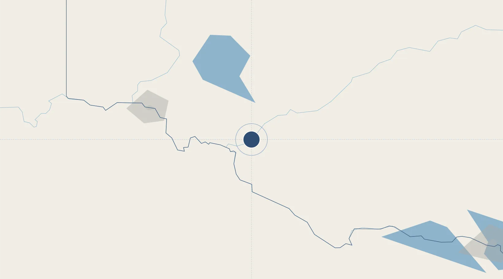
-34.6248°, 143.5771°
3,888 ft
Longest runway
2
Runways
210 ft
Elevation

Runway & Layout

Balranald Airport runway & taxiway layout
Runway & taxiway layout — OpenStreetMap (ODbL) / OurAirports

Radio Frequencies

CTAF
126.7 MHz
FSS
118.6 MHz
MELBOURNE CNTR
OurAirports

Runways · 2

RunwayDimensions SurfaceTrue headingLit
18/36 3,888 × 60ft Asphalt 186°
08/26 2,133 × 98ft Grass 088°
OurAirports

Airport Specifications

IATA code
BZD
OurAirports
ICAO code
YBRN
OurAirports
Airport class
Medium airport
OurAirports
Scheduled service
No
OurAirports
Runway surface
Asphalt
OurAirports

Location

Location of YBRN
Natural Earth 10m (public domain) · New South Wales · YBRN · -34.62, 143.58GoogleOSMYandex

Nearby Logistics Neighbours

Airports
  1. 1Swan Hill Airport84 km
  2. 2Hay Airport115 km
  3. 3Kerang Airport130 km
  4. 4Mildura Airport144 km
  5. 5Deniliquin Airport162 km
Nearest neighbours — logibook spatial index (haversine) over the source coordinates
Cities
  1. 1Boundary Bend40 km
  2. 2Irymple136 km
  3. 3Boort166 km
  4. 4Mathoura178 km
  5. 5Moama198 km
Nearest neighbours — logibook spatial index (haversine) over the source coordinates
Ports
  1. 1Melbourne378 km
  2. 2Geelong398 km
  3. 3Warrnambool431 km
  4. 4Western Port440 km
  5. 5Portland449 km
Nearest neighbours — logibook spatial index (haversine) over the source coordinates
Trade Zones
  1. 1Latrobe Valley Economic Growth Zone474 km
  2. 2Paga Hill Estate Special Economic Zone2819 km
  3. 3Ihu Special Economic Zone2978 km
  4. 4Western Province Special Economic Zone3102 km
  5. 5Morobe Agricultural Special Economic Zone3119 km
Nearest neighbours — logibook spatial index (haversine) over the source coordinates
DatabookThe Record of Consolidated Knowledge
Australia beyond logistics?
Browse databook

All Sources

AirportsOurAirports
Public domain
Portsthe NGA World Port Index
Public domain (US gov)
LocationsUN/LOCODE
UN/LOCODE — free
Trade Zonesthe World Bank SEZ database
CC BY 4.0
Trade ZonesOpen Zone Map
CC BY
InfrastructureOpenStreetMap
ODbL 1.0
← Australia airports