Transport Functions
Rail
Road
Hub Profile
Place type
Populated place
Region
New South Wales
Population
382
Time zone
Australia/Sydney
Elevation
88 m
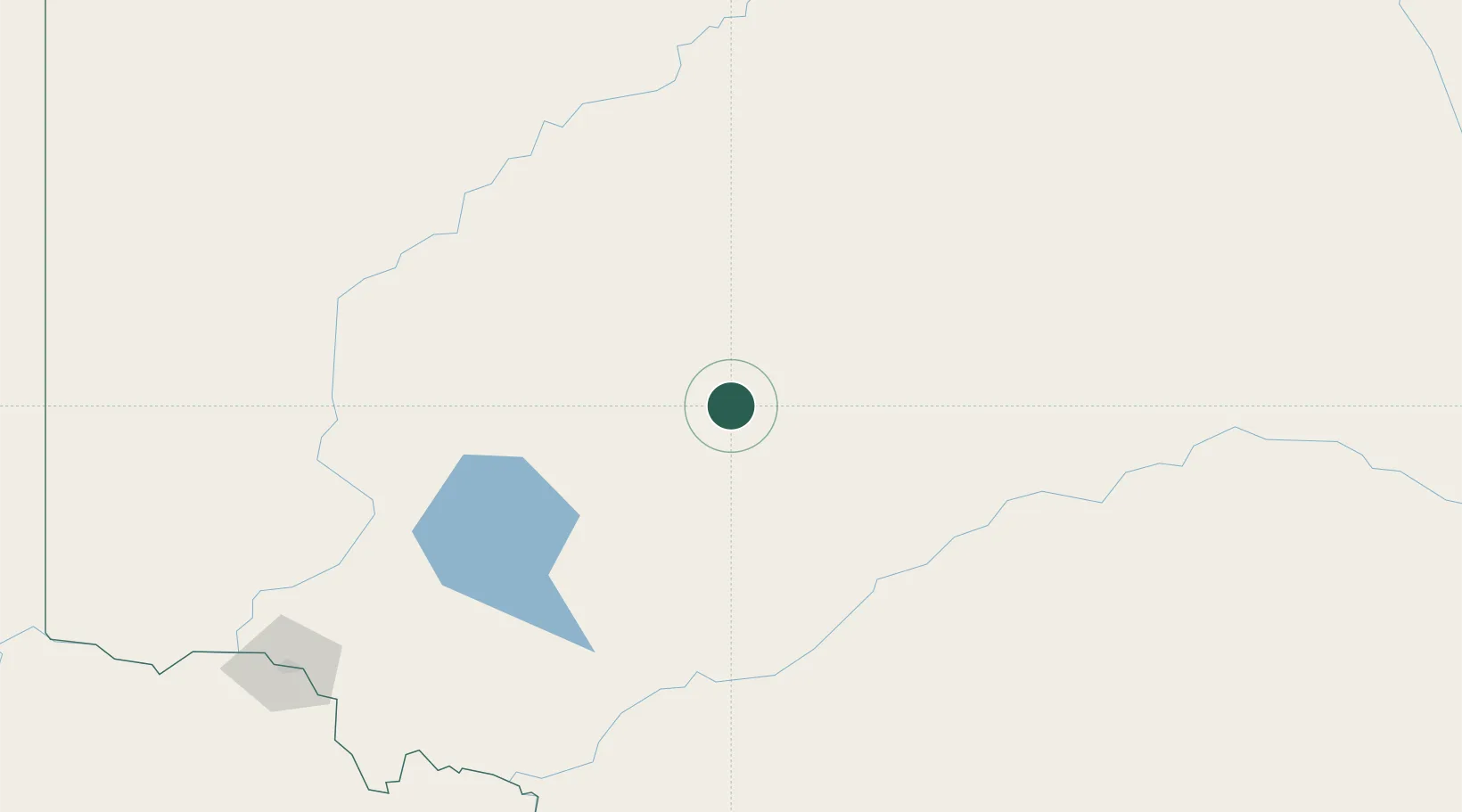
Location
Nearby Logistics Neighbours
Cities
- 1Lake Cargelligo200 km
- 2Nericon215 km
- 3Boundary Bend223 km
- 4Beelbangera224 km
- 5Hanwood225 km
Ports
- 1Melbourne548 km
- 2Port Adelaide575 km
- 3Geelong580 km
- 4Port Pirie585 km
- 5Western Port608 km
Airports
- 1Hay Airport185 km
- 2Balranald Airport199 km
- 3Cobar Airport210 km
- 4Griffith Airport221 km
- 5Mildura Airport249 km
Trade Zones
DatabookThe Record of Consolidated Knowledge
Australia beyond logistics?