Medium airport · Australia

Swan Hill AirportYSWH
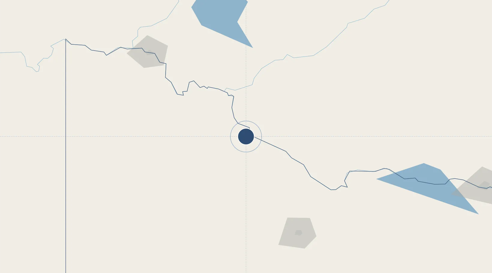
-35.3758°, 143.5330°
4,905 ft
Longest runway
3
Runways
234 ft
Elevation

Runway & Layout

Swan Hill Airport runway & taxiway layout
Runway & taxiway layout — OpenStreetMap (ODbL) / OurAirports

Radio Frequencies

CTAF
119.1 MHz
FSS
125.8 MHz
MELBOURNE CNTR
OurAirports

Navaids

SWH NDB Swan Hill 407 kHz
OurAirports

Runways · 3

RunwayDimensions SurfaceTrue headingLit
08/26 4,905 × 98ft Asphalt 092°
04/22 3,166 × 75ft Grass 049°
15/33 2,329 × 98ft Grass 156°
OurAirports

Airport Specifications

IATA code
SWH
OurAirports
ICAO code
YSWH
OurAirports
Airport class
Medium airport
OurAirports
Scheduled service
No
OurAirports
Runway surface
Asphalt
OurAirports

Location

Location of YSWH
Natural Earth 10m (public domain) · Victoria · YSWH · -35.38, 143.53GoogleOSMYandex

Nearby Logistics Neighbours

Airports
  1. 1Kerang Airport56 km
  2. 2Balranald Airport84 km
  3. 3Hopetoun Airport113 km
  4. 4Deniliquin Airport130 km
  5. 5Echuca Airport141 km
Nearest neighbours — logibook spatial index (haversine) over the source coordinates
Cities
  1. 1Boundary Bend83 km
  2. 2Boort84 km
  3. 3Mathoura132 km
  4. 4Moama139 km
  5. 5Bridgewater-on-Loddon141 km
Nearest neighbours — logibook spatial index (haversine) over the source coordinates
Ports
  1. 1Melbourne302 km
  2. 2Geelong317 km
  3. 3Warrnambool349 km
  4. 4Western Port364 km
  5. 5Portland371 km
Nearest neighbours — logibook spatial index (haversine) over the source coordinates
Trade Zones
  1. 1Latrobe Valley Economic Growth Zone407 km
  2. 2Paga Hill Estate Special Economic Zone2902 km
  3. 3Ihu Special Economic Zone3062 km
  4. 4Western Province Special Economic Zone3184 km
  5. 5Morobe Agricultural Special Economic Zone3202 km
Nearest neighbours — logibook spatial index (haversine) over the source coordinates
DatabookThe Record of Consolidated Knowledge
Australia beyond logistics?
Browse databook

All Sources

AirportsOurAirports
Public domain
Portsthe NGA World Port Index
Public domain (US gov)
LocationsUN/LOCODE
UN/LOCODE — free
Trade Zonesthe World Bank SEZ database
CC BY 4.0
Trade ZonesOpen Zone Map
CC BY
InfrastructureOpenStreetMap
ODbL 1.0
← Australia airports