UN/LOCODE hub · Australia
AUBOU
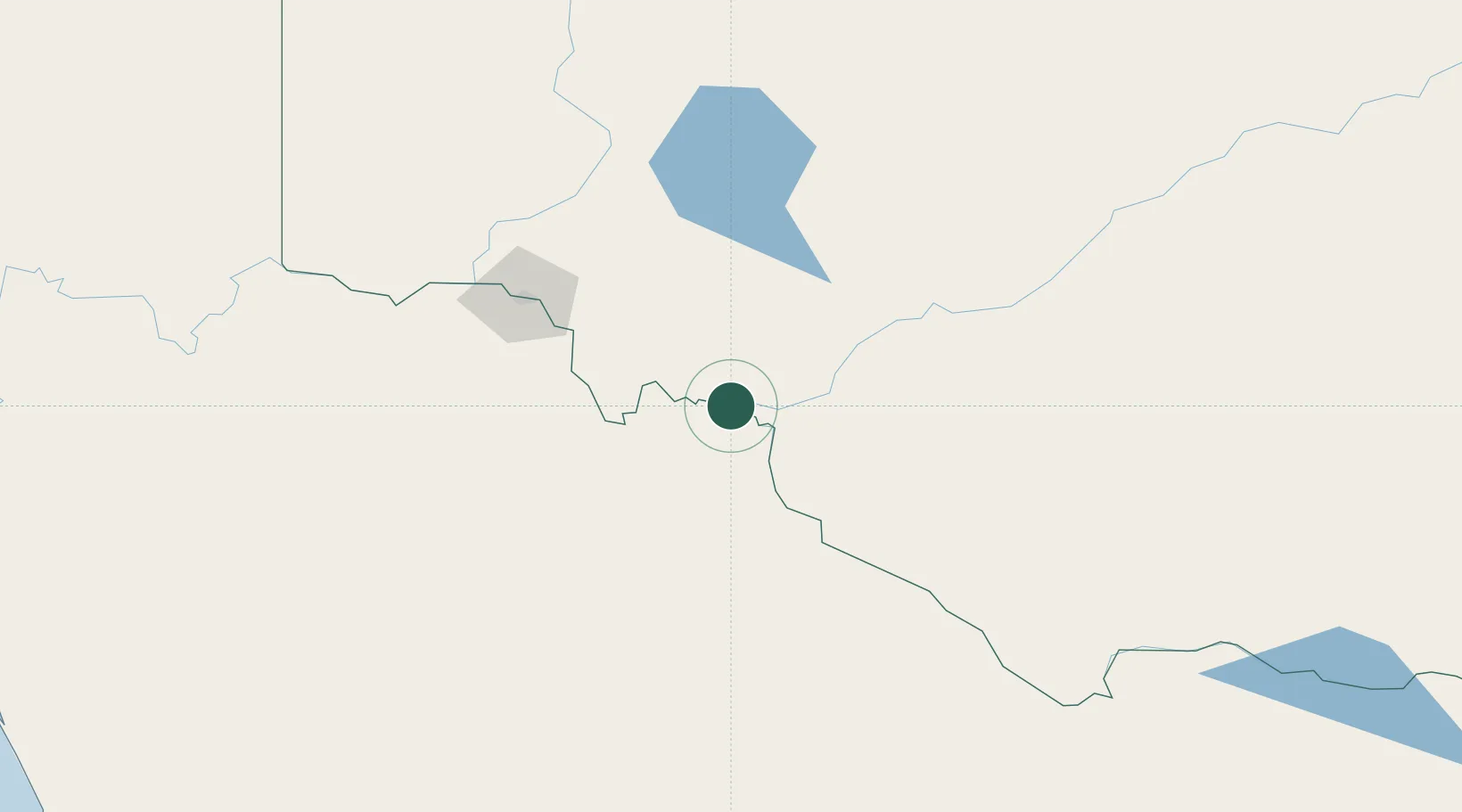
Boundary Bend
-34.7000°, 143.1500°
142
Population
2
Transport functions
Transport Functions
Port
Multimodal
Hub Profile
Place type
Populated place
Region
Victoria
Population
142
Time zone
Australia/Melbourne
Elevation
60 m
Location
Nearby Logistics Neighbours
Ports
- 1Melbourne385 km
- 2Geelong399 km
- 3Warrnambool416 km
- 4Port Adelaide425 km
- 5Portland427 km
Airports
- 1Balranald Airport40 km
- 2Swan Hill Airport83 km
- 3Mildura Airport111 km
- 4Hopetoun Airport134 km
- 5Kerang Airport137 km
Trade Zones
DatabookThe Record of Consolidated Knowledge
Australia beyond logistics?