UN/LOCODE hub · Australia
AUDGA
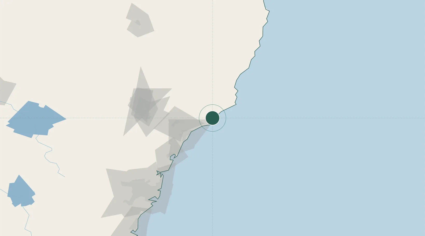
Tea Gardens
-32.6667°, 152.1500°
2,786
Population
1
Transport functions
Transport Functions
Port
Hub Profile
Place type
Populated place
Region
New South Wales
Population
2,786
Time zone
Australia/Sydney
Elevation
11 m
Location
Nearby Logistics Neighbours
Cities
- 1Carrington2 km
- 2Heatherbrae41 km
- 3Newcastle44 km
- 4Dungog47 km
- 5Sandgate47 km
Ports
- 1Newcastle44 km
- 2Sydney160 km
- 3Botany Bay171 km
- 4Port Kembla232 km
- 5Jervis Bay300 km
Airports
- 1Newcastle Airport33 km
- 2Taree Airport93 km
- 3Palm Beach Seaplane Base128 km
- 4Port Macquarie Airport153 km
- 5RAAF Base Richmond165 km
Trade Zones
DatabookThe Record of Consolidated Knowledge
Australia beyond logistics?