Transport Functions
Multimodal
Hub Profile
Place type
Populated place
Region
New South Wales
Population
25
Time zone
Australia/Sydney
Elevation
17 m
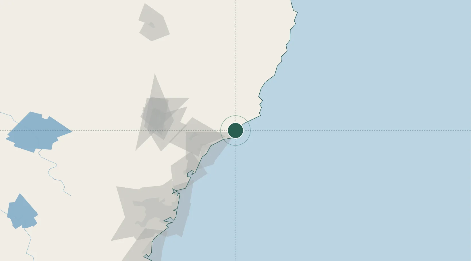
Location
Nearby Logistics Neighbours
Cities
- 1Tea Gardens2 km
- 2Heatherbrae43 km
- 3Newcastle45 km
- 4Dungog48 km
- 5Sandgate49 km
Ports
- 1Newcastle45 km
- 2Sydney161 km
- 3Botany Bay172 km
- 4Port Kembla233 km
- 5Jervis Bay300 km
Airports
- 1Newcastle Airport34 km
- 2Taree Airport93 km
- 3Palm Beach Seaplane Base129 km
- 4Port Macquarie Airport152 km
- 5RAAF Base Richmond166 km
Trade Zones
DatabookThe Record of Consolidated Knowledge
Australia beyond logistics?