Transport Functions
Port
Multimodal
Hub Profile
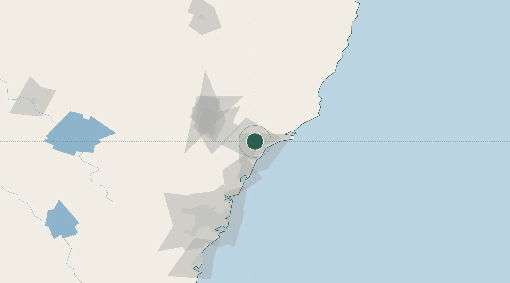
Place type
Populated place
Region
New South Wales
Population
3,102
Time zone
Australia/Sydney
Elevation
20 m
Location
Nearby Logistics Neighbours
Cities
- 1Heatherbrae8 km
- 2Sandgate9 km
- 3Warabrook10 km
- 4Newcastle13 km
- 5New Lambton14 km
Ports
- 1Newcastle18 km
- 2Sydney126 km
- 3Botany Bay139 km
- 4Port Kembla199 km
- 5Jervis Bay269 km
Airports
- 1Newcastle Airport17 km
- 2Palm Beach Seaplane Base93 km
- 3RAAF Base Richmond121 km
- 4Taree Airport130 km
- 5Sydney Kingsford Smith International Airport135 km
Trade Zones
DatabookThe Record of Consolidated Knowledge
Australia beyond logistics?