UN/LOCODE hub · Australia
AUHBE

Heatherbrae

-32.7833°, 151.7333°
548
Population
2
Transport functions

Transport Functions

Port
Multimodal
UN/LOCODE

Hub Profile

Place type
Urban district
GeoNames
Region
New South Wales
GeoNames
Population
548
GeoNames
Time zone
Australia/Sydney
GeoNames
Elevation
8 m
GeoNames

Location

Location of AUHBE
Natural Earth 10m (public domain) · New South Wales · AUHBE · -32.78, 151.73GoogleOSMYandex

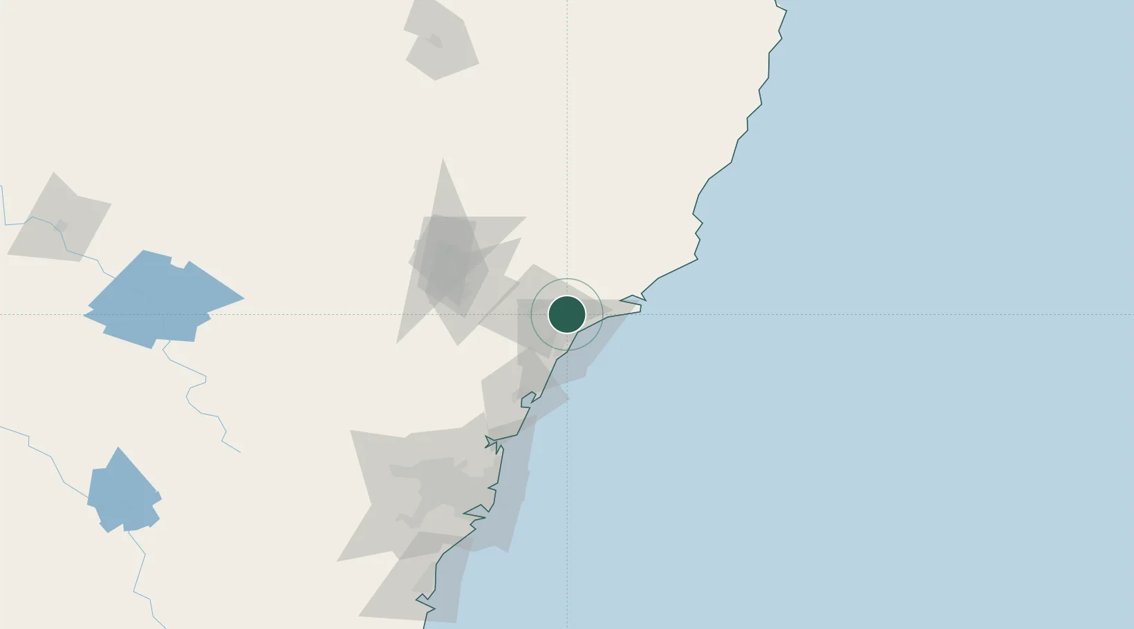
Nearby Logistics Neighbours

Cities
  1. 1Beresfield8 km
  2. 2Sandgate10 km
  3. 3Newcastle11 km
  4. 4Warabrook12 km
  5. 5Hamilton15 km
Nearest neighbours — logibook spatial index (haversine) over the source coordinates
Ports
  1. 1Newcastle16 km
  2. 2Sydney130 km
  3. 3Botany Bay143 km
  4. 4Port Kembla204 km
  5. 5Jervis Bay273 km
Nearest neighbours — logibook spatial index (haversine) over the source coordinates
Airports
  1. 1Newcastle Airport10 km
  2. 2Palm Beach Seaplane Base97 km
  3. 3Taree Airport124 km
  4. 4RAAF Base Richmond127 km
  5. 5Sydney Kingsford Smith International Airport139 km
Nearest neighbours — logibook spatial index (haversine) over the source coordinates
Trade Zones
  1. 1Latrobe Valley Economic Growth Zone775 km
  2. 2Hicks Bay Area Special Economic Zone2450 km
  3. 3Vanuatu Economic Development Zone2472 km
  4. 4Paga Hill Estate Special Economic Zone2633 km
  5. 5Tulagi Island Special Economic Zone2771 km
Nearest neighbours — logibook spatial index (haversine) over the source coordinates
DatabookThe Record of Consolidated Knowledge
Australia beyond logistics?
Browse databook

All Sources

LocationsUN/LOCODE
UN/LOCODE — free
LocationsGeoNames
CC BY 4.0
Portsthe NGA World Port Index
Public domain (US gov)
AirportsOurAirports
Public domain
Trade Zonesthe World Bank SEZ database
CC BY 4.0
Trade ZonesOpen Zone Map
CC BY
← Australia locations