Transport Functions
Port
Road
Hub Profile
Place type
Urban district
Region
Queensland
Population
2,632
Time zone
Australia/Brisbane
Elevation
6 m
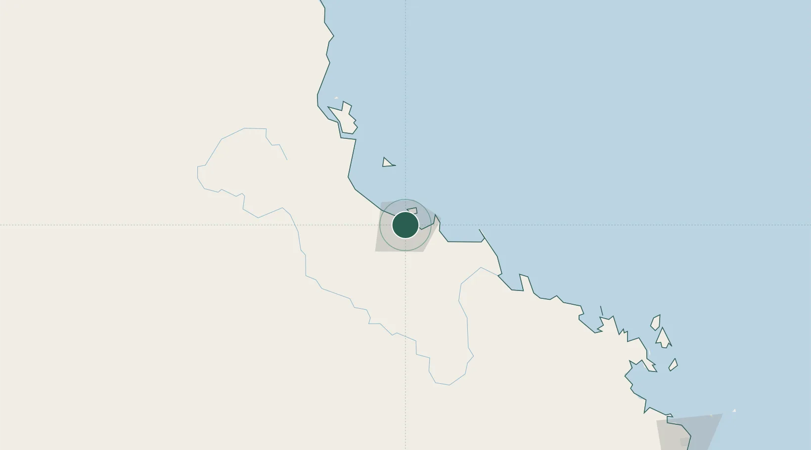
Location
Nearby Logistics Neighbours
Cities
- 1Mount Louisa4 km
- 2Townsville8 km
- 3Hinchinbrook Island111 km
- 4Abbot Point155 km
- 5Red Hill216 km
Ports
- 1Townsville5 km
- 2Lucinda95 km
- 3Mourilyan Harbour197 km
- 4Cairns281 km
- 5Mackay328 km
Airports
Trade Zones
DatabookThe Record of Consolidated Knowledge
Australia beyond logistics?