Small airport · Australia

Palm Island AirportYPAM
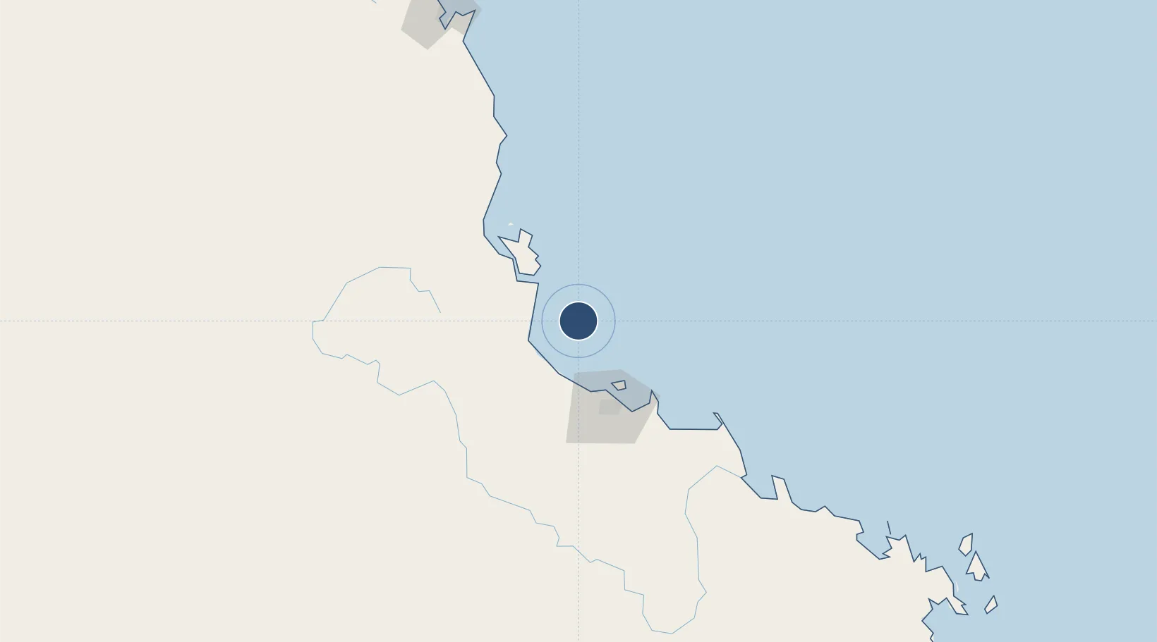
-18.7553°, 146.5810°
3,730 ft
Longest runway
1
Runways
28 ft
Elevation

Runway & Layout

Palm Island Airport runway & taxiway layout
Runway & taxiway layout — OpenStreetMap (ODbL) / OurAirports

Radio Frequencies

APP
126.8 MHz
TOWNSVILLE APP
CTAF
126.7 MHz
FSS
120.55 MHz
BRISBANE CNTR
OurAirports

Runways · 1

RunwayDimensions SurfaceTrue headingLit
14/32 3,730 × 59ft Composite 143°
OurAirports

Airport Specifications

IATA code
PMK
OurAirports
ICAO code
YPAM
OurAirports
Airport class
Small airport
OurAirports
Scheduled service
Yes
OurAirports
Runway surface
Composite
OurAirports

Location

Location of YPAM
Natural Earth 10m (public domain) · Queensland · YPAM · -18.76, 146.58GoogleOSMYandex

Nearby Logistics Neighbours

Airports
  1. 1Townsville Airport / RAAF Base Townsville59 km
  2. 2Mareeba Airport224 km
  3. 3Cairns International Airport227 km
  4. 4Hayman Island Resort Seaplane Base282 km
  5. 5Proserpine Whitsunday Coast Airport283 km
Nearest neighbours — logibook spatial index (haversine) over the source coordinates
Cities
  1. 1Hinchinbrook Island52 km
  2. 2Garbutt60 km
  3. 3Mount Louisa61 km
  4. 4Townsville64 km
  5. 5Hillcrest186 km
Nearest neighbours — logibook spatial index (haversine) over the source coordinates
Ports
  1. 1Lucinda37 km
  2. 2Townsville62 km
  3. 3Mourilyan Harbour137 km
  4. 4Cairns221 km
  5. 5Mackay381 km
Nearest neighbours — logibook spatial index (haversine) over the source coordinates
Trade Zones
  1. 1Paga Hill Estate Special Economic Zone1033 km
  2. 2Ihu Special Economic Zone1214 km
  3. 3Morobe Agricultural Special Economic Zone1348 km
  4. 4Nadzab (Momase) Special Economic Zone1352 km
  5. 5Ledger Atlas Special Economic Zone1359 km
Nearest neighbours — logibook spatial index (haversine) over the source coordinates
DatabookThe Record of Consolidated Knowledge
Australia beyond logistics?
Browse databook

All Sources

AirportsOurAirports
Public domain
Portsthe NGA World Port Index
Public domain (US gov)
LocationsUN/LOCODE
UN/LOCODE — free
Trade Zonesthe World Bank SEZ database
CC BY 4.0
Trade ZonesOpen Zone Map
CC BY
InfrastructureOpenStreetMap
ODbL 1.0
← Australia airports