Medium airport · Australia
Cobar AirportYCBA
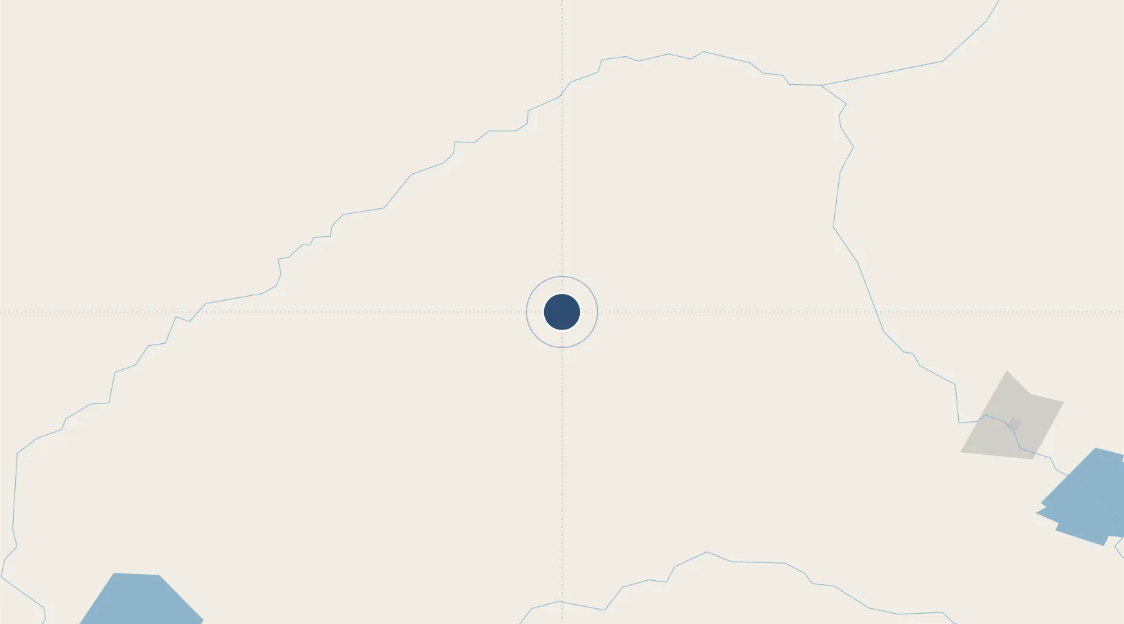
-31.5383°, 145.7940°
5,564 ft
Longest runway
2
Runways
724 ft
Elevation
Runway & Layout

Radio Frequencies
CTAF
126.7 MHz
FSS
124.9 MHz
MELBOURNE CNTR
Navaids
CBA NDB Cobar 395 kHz
Runways · 2
| Runway | Dimensions | Surface | True heading | Lit |
|---|---|---|---|---|
| 05/23 | 5,564 × 98ft | Asphalt | 055° | ✓ |
| 17/35 | 2,949 × 98ft | Clay | 175° | — |
Airport Specifications
IATA code
CAZ
ICAO code
YCBA
Airport class
Medium airport
Scheduled service
Yes
Runway surface
Asphalt
Location
Nearby Logistics Neighbours
Airports
- 1Bourke Airport167 km
- 2Warren Airport191 km
- 3Brewarrina Airport199 km
- 4Narromine Airport242 km
- 5Coonamble Airport253 km
Cities
- 1Coolabah104 km
- 2Tottenham167 km
- 3Lake Cargelligo205 km
- 4Ivanhoe210 km
- 5Tullibigeal228 km
Ports
- 1Sydney568 km
- 2Botany Bay577 km
- 3Port Kembla579 km
- 4Newcastle584 km
- 5Jervis Bay612 km
Trade Zones
DatabookThe Record of Consolidated Knowledge
Australia beyond logistics?