UN/LOCODE hub · Australia
AUBJU
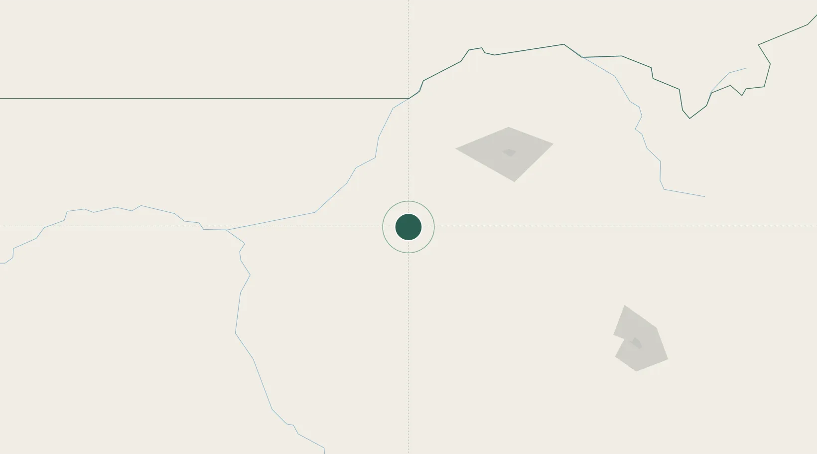
Burren Junction
-30.1000°, 148.9667°
307
Population
2
Transport functions
Transport Functions
Rail
Road
Hub Profile
Place type
Populated place
Region
New South Wales
Population
307
Time zone
Australia/Sydney
Elevation
162 m
Location
Nearby Logistics Neighbours
Cities
- 1Werris Creek213 km
- 2Dunedoo217 km
- 3Sylvania Waters228 km
- 4Coolabah240 km
- 5Narromine247 km
Ports
- 1Newcastle412 km
- 2Ballina466 km
- 3Sydney469 km
- 4Botany Bay483 km
- 5Brisbane493 km
Airports
- 1Walgett Airport81 km
- 2Narrabri Airport86 km
- 3Moree Airport108 km
- 4Coonamble Airport113 km
- 5Lightning Ridge Airport120 km
Trade Zones
DatabookThe Record of Consolidated Knowledge
Australia beyond logistics?