Medium airport · Australia

Brewarrina AirportYBRW
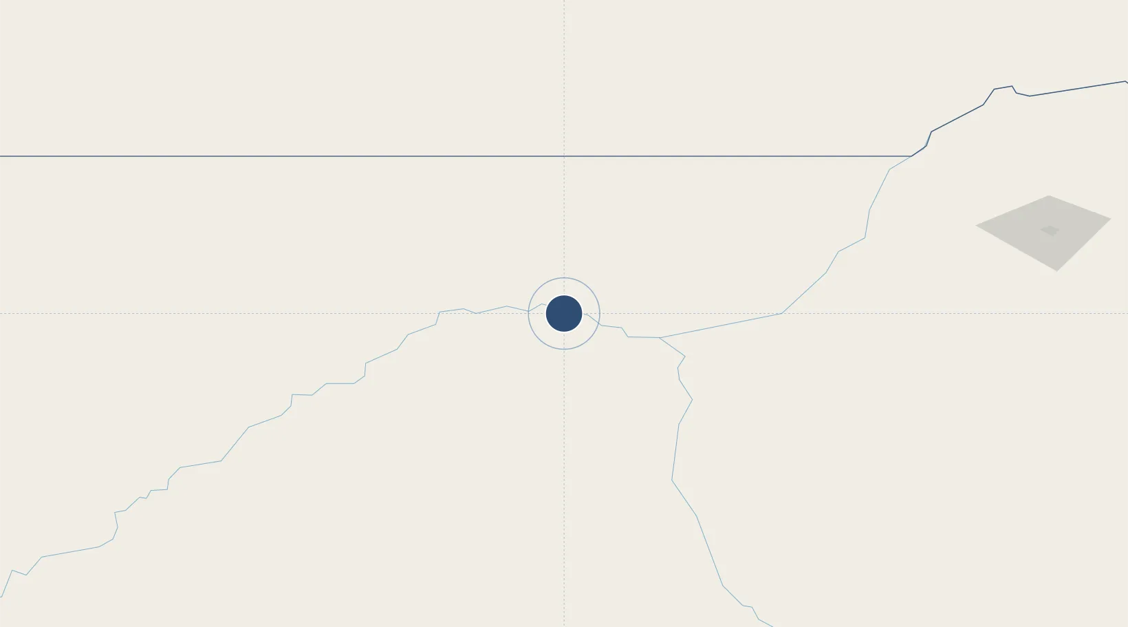
-29.9758°, 146.8144°
4,547 ft
Longest runway
1
Runways
414 ft
Elevation

Runway & Layout

Brewarrina Airport runway & taxiway layout
Runway & taxiway layout — OpenStreetMap (ODbL) / OurAirports

Radio Frequencies

CTAF
126.7 MHz
FSS
120 MHz
MELBOURNE CNTR
OurAirports

Navaids

BRW NDB Brewarrina 281 kHz
OurAirports

Runways · 1

RunwayDimensions SurfaceTrue headingLit
03/21 4,547 × 98ft Asphalt 036°
OurAirports

Airport Specifications

IATA code
BWQ
OurAirports
ICAO code
YBRW
OurAirports
Airport class
Medium airport
OurAirports
Scheduled service
No
OurAirports
Runway surface
Asphalt
OurAirports

Location

Location of YBRW
Natural Earth 10m (public domain) · New South Wales · YBRW · -29.98, 146.81GoogleOSMYandex

Nearby Logistics Neighbours

Airports
  1. 1Bourke Airport83 km
  2. 2Lightning Ridge Airport127 km
  3. 3Walgett Airport127 km
  4. 4Coonamble Airport187 km
  5. 5Cobar Airport199 km
Nearest neighbours — logibook spatial index (haversine) over the source coordinates
Cities
  1. 1Coolabah116 km
  2. 2Burren Junction208 km
  3. 3Tottenham258 km
  4. 4Narromine285 km
  5. 5Dunedoo335 km
Nearest neighbours — logibook spatial index (haversine) over the source coordinates
Ports
  1. 1Newcastle574 km
  2. 2Sydney599 km
  3. 3Botany Bay611 km
  4. 4Port Kembla632 km
  5. 5Ballina665 km
Nearest neighbours — logibook spatial index (haversine) over the source coordinates
Trade Zones
  1. 1Latrobe Valley Economic Growth Zone919 km
  2. 2Paga Hill Estate Special Economic Zone2279 km
  3. 3Ihu Special Economic Zone2460 km
  4. 4Morobe Agricultural Special Economic Zone2596 km
  5. 5Nadzab (Momase) Special Economic Zone2600 km
Nearest neighbours — logibook spatial index (haversine) over the source coordinates
DatabookThe Record of Consolidated Knowledge
Australia beyond logistics?
Browse databook

All Sources

AirportsOurAirports
Public domain
Portsthe NGA World Port Index
Public domain (US gov)
LocationsUN/LOCODE
UN/LOCODE — free
Trade Zonesthe World Bank SEZ database
CC BY 4.0
Trade ZonesOpen Zone Map
CC BY
InfrastructureOpenStreetMap
ODbL 1.0
← Australia airports