Medium airport · Australia
Bourke AirportYBKE
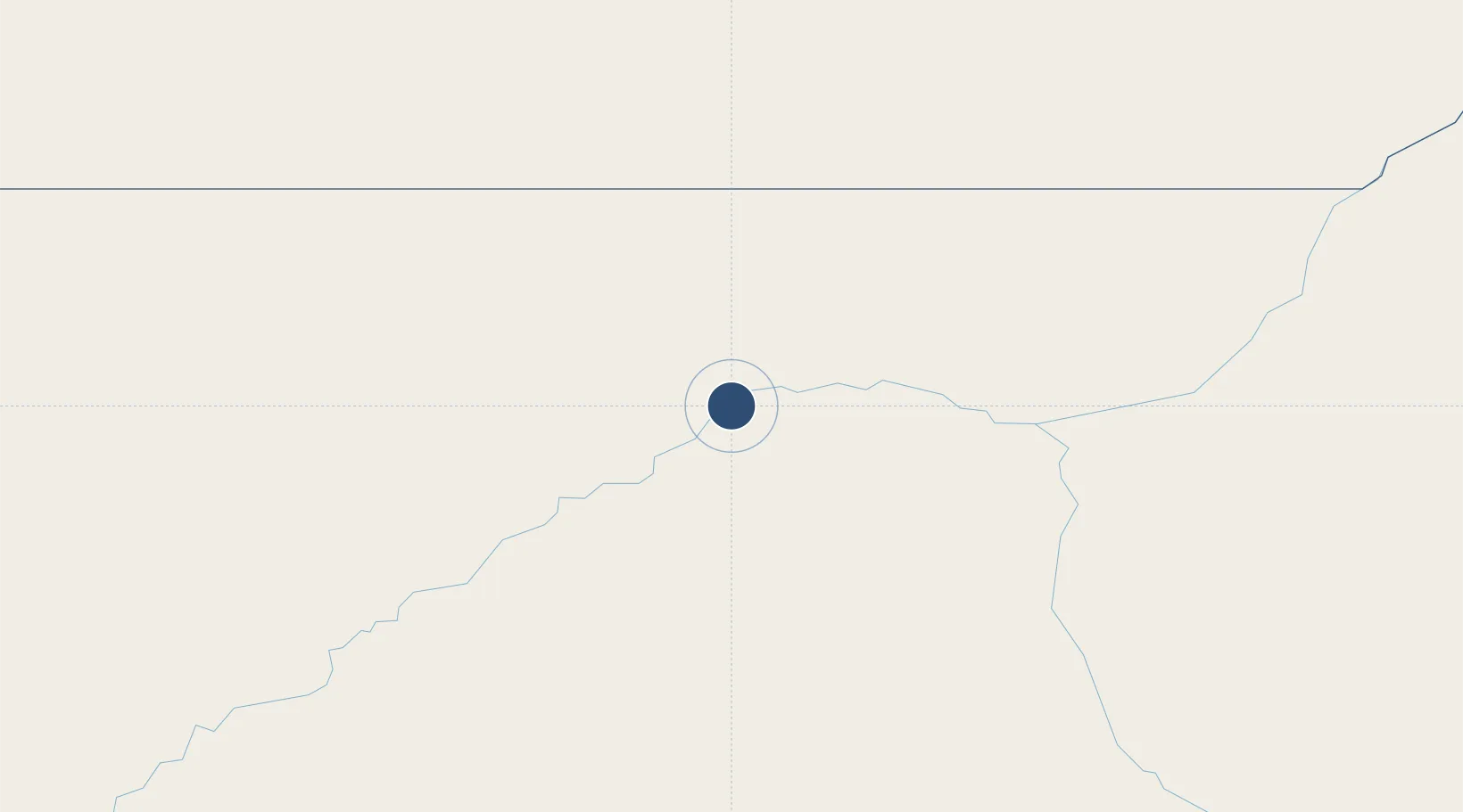
-30.0392°, 145.9520°
6,004 ft
Longest runway
2
Runways
352 ft
Elevation
Runway & Layout

Radio Frequencies
CTAF
126.7 MHz
FSS
120 MHz
MELBOURNE CNTR
Navaids
BKE NDB Bourke 389 kHz
Runways · 2
| Runway | Dimensions | Surface | True heading | Lit |
|---|---|---|---|---|
| 05/23 | 6,004 × 98ft | Asphalt | 064° | ✓ |
| 18/36 | 3,281 × 98ft | Grass | 188° | — |
Airport Specifications
IATA code
BRK
ICAO code
YBKE
Airport class
Medium airport
Scheduled service
Yes
Runway surface
Asphalt
Location
Nearby Logistics Neighbours
Airports
- 1Brewarrina Airport83 km
- 2Cobar Airport167 km
- 3Lightning Ridge Airport206 km
- 4Walgett Airport209 km
- 5Cunnamulla Airport226 km
Cities
- 1Coolabah130 km
- 2Tottenham280 km
- 3Burren Junction290 km
- 4Narromine327 km
- 5Ivanhoe359 km
Ports
- 1Newcastle639 km
- 2Sydney653 km
- 3Botany Bay665 km
- 4Port Kembla680 km
- 5Jervis Bay724 km
Trade Zones
DatabookThe Record of Consolidated Knowledge
Australia beyond logistics?