Medium airport · Australia

Coonamble AirportYCNM
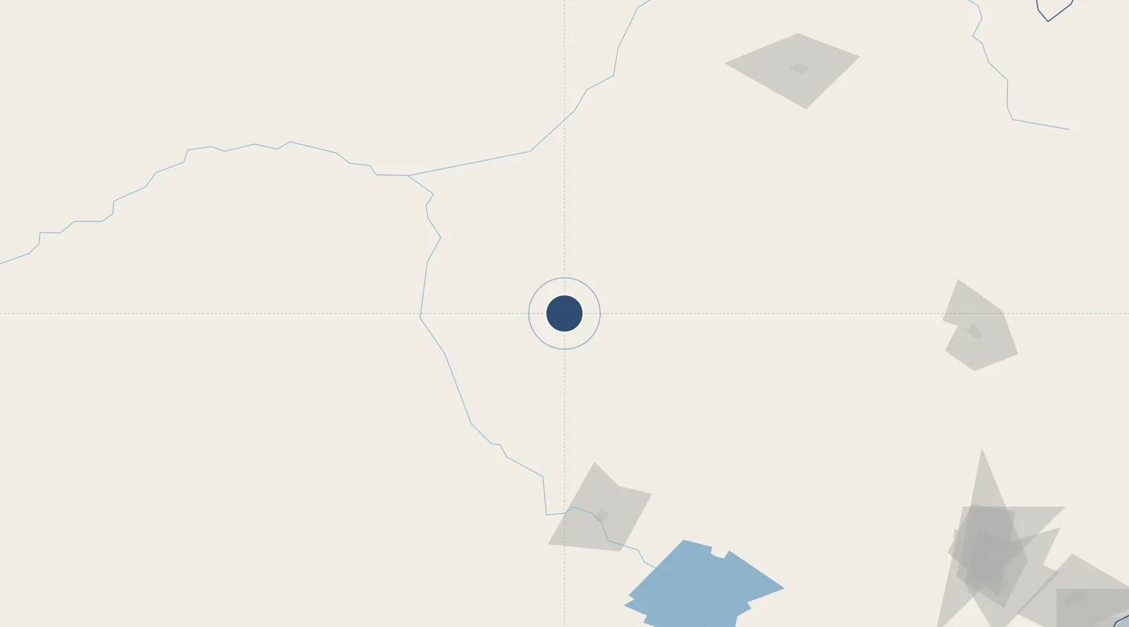
-30.9809°, 148.3778°
5,010 ft
Longest runway
2
Runways
604 ft
Elevation

Runway & Layout

Coonamble Airport runway & taxiway layout
Runway & taxiway layout — OpenStreetMap (ODbL) / OurAirports

Radio Frequencies

CTAF
126.7 MHz
FSS
127.1 MHz
BRISBANE CNTR
OurAirports

Navaids

CNM NDB Coonamble 206 kHz
OurAirports

Runways · 2

RunwayDimensions SurfaceTrue headingLit
05/23 5,010 × 98ft Asphalt 054°
12/30 1,903 × 98ft Grass 129°
OurAirports

Airport Specifications

IATA code
CNB
OurAirports
ICAO code
YCNM
OurAirports
Airport class
Medium airport
OurAirports
Scheduled service
Yes
OurAirports
Runway surface
Asphalt
OurAirports

Location

Location of YCNM
Natural Earth 10m (public domain) · New South Wales · YCNM · -30.98, 148.38GoogleOSMYandex

Nearby Logistics Neighbours

Airports
  1. 1Coonabarabran Airport93 km
  2. 2Warren Airport100 km
  3. 3Walgett Airport108 km
  4. 4Narromine Airport138 km
  5. 5Dubbo City Regional Airport139 km
Nearest neighbours — logibook spatial index (haversine) over the source coordinates
Cities
  1. 1Burren Junction113 km
  2. 2Narromine140 km
  3. 3Dunedoo151 km
  4. 4Coolabah160 km
  5. 5Tottenham171 km
Nearest neighbours — logibook spatial index (haversine) over the source coordinates
Ports
  1. 1Newcastle387 km
  2. 2Sydney416 km
  3. 3Botany Bay429 km
  4. 4Port Kembla456 km
  5. 5Jervis Bay512 km
Nearest neighbours — logibook spatial index (haversine) over the source coordinates
Trade Zones
  1. 1Latrobe Valley Economic Growth Zone827 km
  2. 2Paga Hill Estate Special Economic Zone2394 km
  3. 3Vanuatu Economic Development Zone2570 km
  4. 4Ihu Special Economic Zone2586 km
  5. 5Ledger Atlas Special Economic Zone2712 km
Nearest neighbours — logibook spatial index (haversine) over the source coordinates
DatabookThe Record of Consolidated Knowledge
Australia beyond logistics?
Browse databook

All Sources

AirportsOurAirports
Public domain
Portsthe NGA World Port Index
Public domain (US gov)
LocationsUN/LOCODE
UN/LOCODE — free
Trade Zonesthe World Bank SEZ database
CC BY 4.0
Trade ZonesOpen Zone Map
CC BY
InfrastructureOpenStreetMap
ODbL 1.0
← Australia airports