Transport Functions
Multimodal
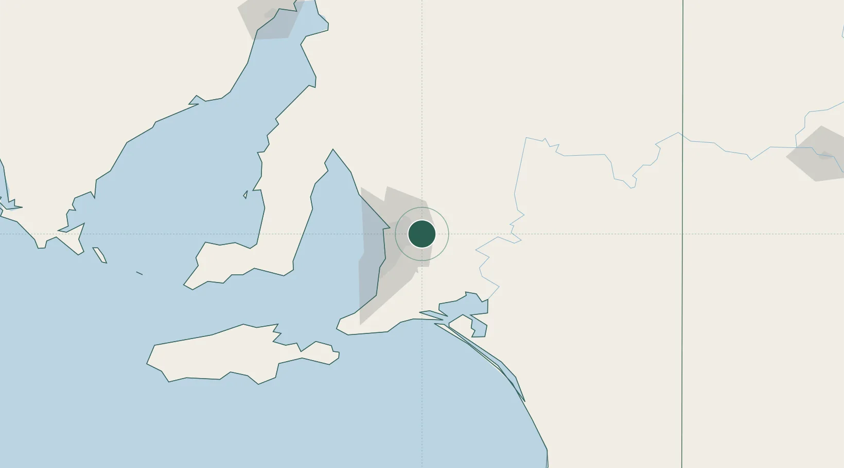
Hub Profile
Place type
Populated place
Region
South Australia
Population
424
Time zone
Australia/Adelaide
Elevation
298 m
Location
Nearby Logistics Neighbours
Cities
- 1Gumeracha6 km
- 2Modbury12 km
- 3Ashton14 km
- 4Hectorville16 km
- 5Ingle Farm17 km
Ports
- 1Port Adelaide29 km
- 2Ardrossan94 km
- 3Klein Point97 km
- 4Port Giles98 km
- 5Kingscote140 km
Airports
- 1RAAF Base Edinburgh23 km
- 2Adelaide International Airport29 km
- 3Kingscote Airport153 km
- 4Renmark Airport184 km
- 5Port Pirie Airport193 km
DatabookThe Record of Consolidated Knowledge
Australia beyond logistics?