Transport Functions
Port
Multimodal
Hub Profile
Place type
Populated place
Region
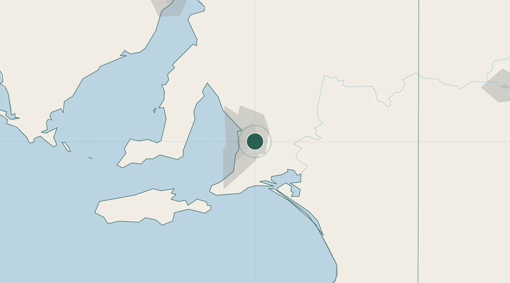
South Australia
Population
481
Time zone
Australia/Adelaide
Elevation
546 m
Location
Nearby Logistics Neighbours
Cities
- 1Crafers8 km
- 2Verdun9 km
- 3Tusmore9 km
- 4Aldgate9 km
- 5Hectorville9 km
Ports
- 1Port Adelaide23 km
- 2Klein Point88 km
- 3Port Giles89 km
- 4Ardrossan93 km
- 5Kingscote127 km
Airports
- 1Adelaide International Airport18 km
- 2RAAF Base Edinburgh28 km
- 3Kingscote Airport140 km
- 4Renmark Airport196 km
- 5Port Pirie Airport200 km
DatabookThe Record of Consolidated Knowledge
Australia beyond logistics?