Transport Functions
Port
Multimodal
Hub Profile
Place type
Populated place
Region
South Australia
Population
820
Time zone
Australia/Adelaide
Elevation
349 m
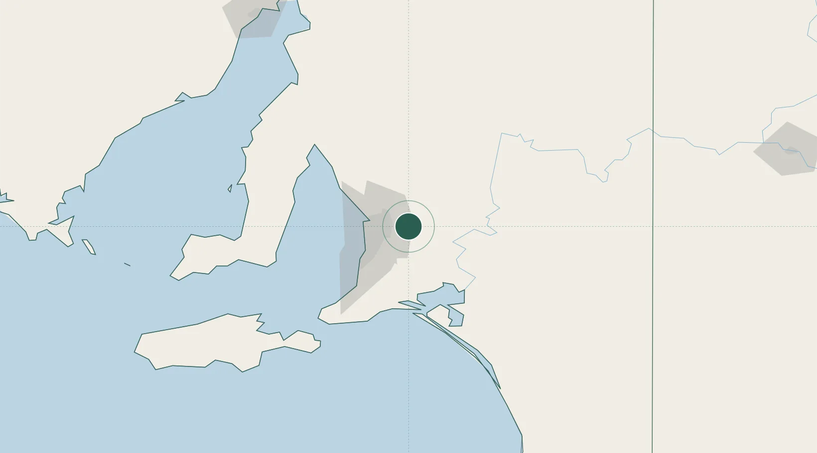
Location
Nearby Logistics Neighbours
Cities
- 1Cudlee Creek6 km
- 2Cromer13 km
- 3Balhannah17 km
- 4Ashton18 km
- 5Modbury18 km
Ports
- 1Port Adelaide35 km
- 2Ardrossan99 km
- 3Klein Point103 km
- 4Port Giles104 km
- 5Kingscote144 km
Airports
- 1RAAF Base Edinburgh28 km
- 2Adelaide International Airport34 km
- 3Kingscote Airport158 km
- 4Renmark Airport179 km
- 5Port Pirie Airport195 km
DatabookThe Record of Consolidated Knowledge
Australia beyond logistics?