Transport Functions
Port
Multimodal
Hub Profile
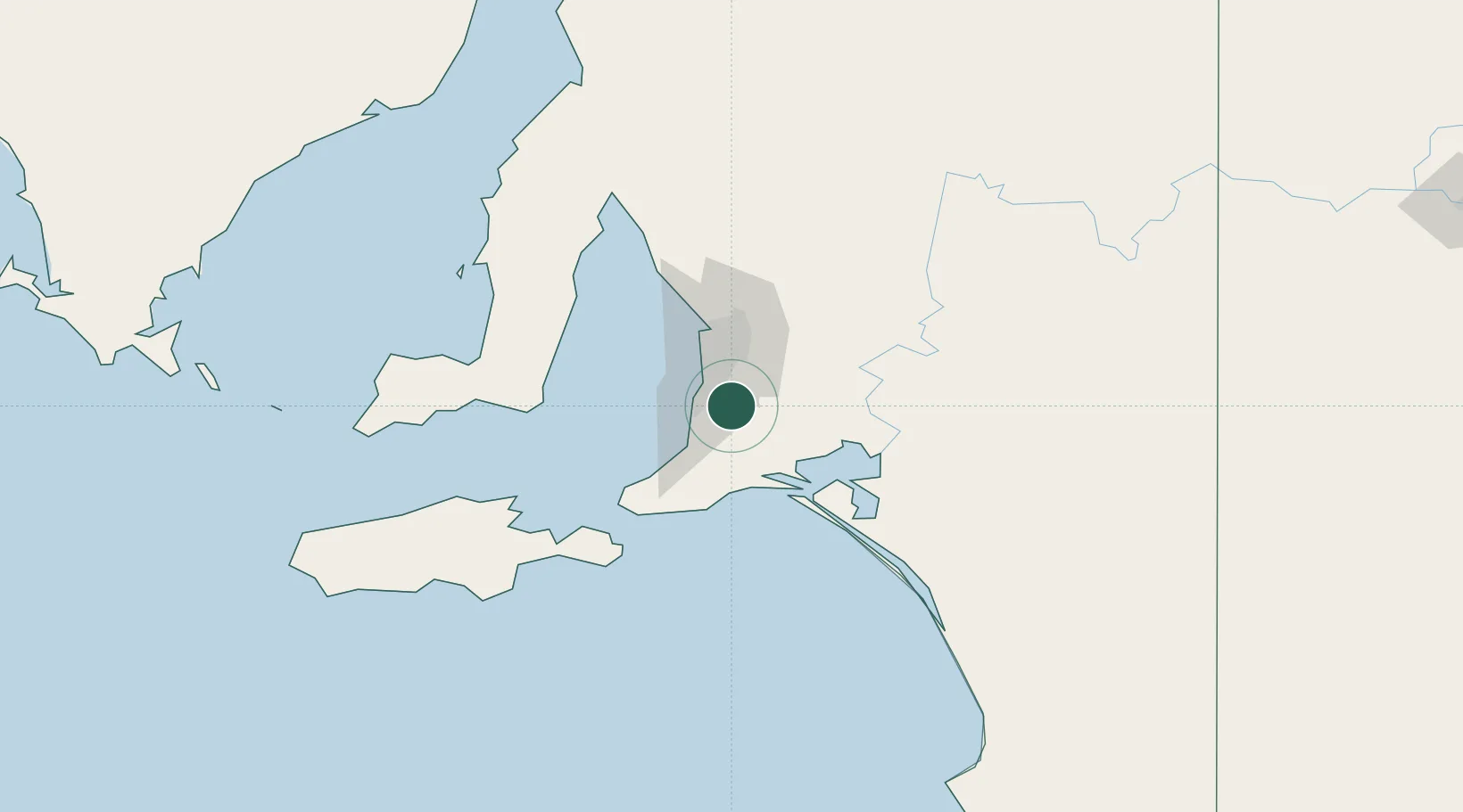
Place type
Urban district
Region
South Australia
Population
881
Time zone
Australia/Adelaide
Elevation
196 m
Location
Nearby Logistics Neighbours
Cities
- 1Clarendon4 km
- 2Chandlers Hill9 km
- 3Meadows10 km
- 4Coromandel Valley12 km
- 5Happy Valley13 km
Ports
- 1Port Adelaide36 km
- 2Port Giles81 km
- 3Klein Point83 km
- 4Ardrossan104 km
- 5Kingscote107 km
Airports
- 1Adelaide International Airport25 km
- 2RAAF Base Edinburgh50 km
- 3Kingscote Airport120 km
- 4Renmark Airport213 km
- 5Port Pirie Airport221 km
DatabookThe Record of Consolidated Knowledge
Australia beyond logistics?