Transport Functions
Port
Hub Profile
Region
NT
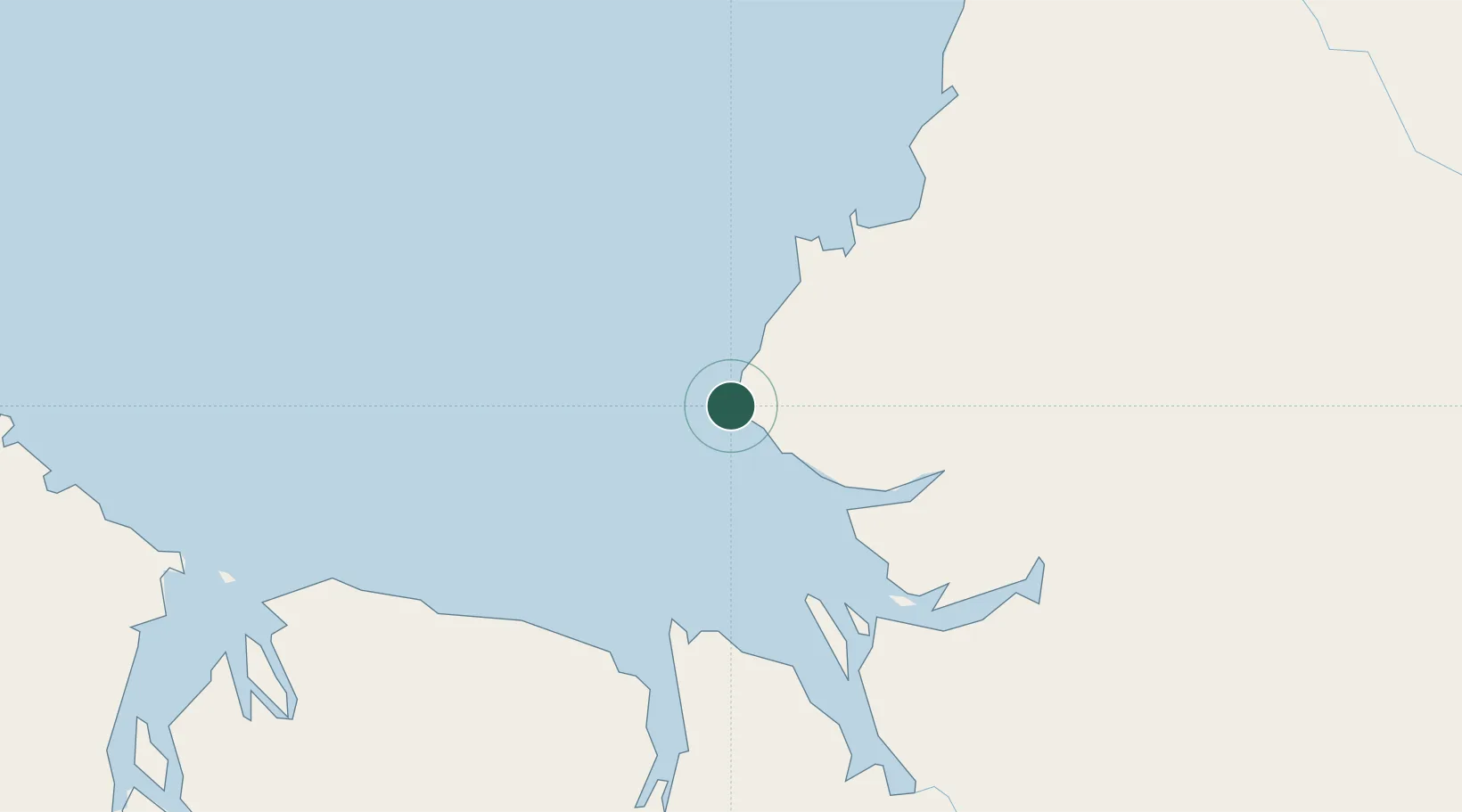
Location
Nearby Logistics Neighbours
Cities
- 1Palmerston268 km
- 2Darwin272 km
- 3Winnellie275 km
- 4Katherine314 km
- 5Troughton Island354 km
Ports
- 1Wyndham179 km
- 2Darwin269 km
- 3Saumlaki745 km
- 4Milner Bay764 km
- 5Dili771 km
Airports
DatabookThe Record of Consolidated Knowledge
Australia beyond logistics?