UN/LOCODE hub · Australia
AUPAL
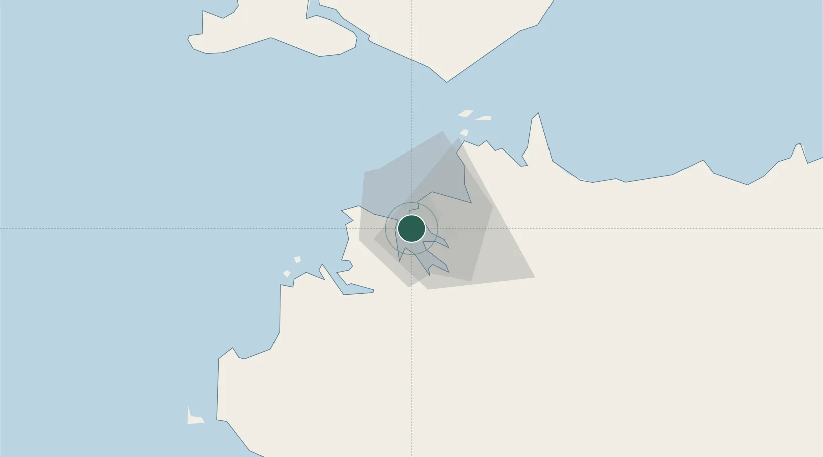
Palmerston
-12.4667°, 130.8333°
33,695
Population
1
Transport functions
Transport Functions
Port
Hub Profile
Place type
Populated place
Region
Northern Territory
Population
33,695
Time zone
Australia/Darwin
Elevation
36 m
Location
Nearby Logistics Neighbours
Cities
- 1Winnellie7 km
- 2Darwin7 km
- 3Melville Island103 km
- 4Cape Don162 km
- 5Black Point205 km
Ports
- 1Darwin2 km
- 2Wyndham445 km
- 3Saumlaki501 km
- 4Milner Bay624 km
- 5Gove638 km
Airports
- 1Darwin International Airport / RAAF Darwin8 km
- 2Bathurst Island Airport82 km
- 3Snake Bay Airport118 km
- 4Garden Point Airport127 km
- 5Port Keats Airport243 km
Trade Zones
DatabookThe Record of Consolidated Knowledge
Australia beyond logistics?