Medium airport · Australia

Bathurst Island AirportYBTI
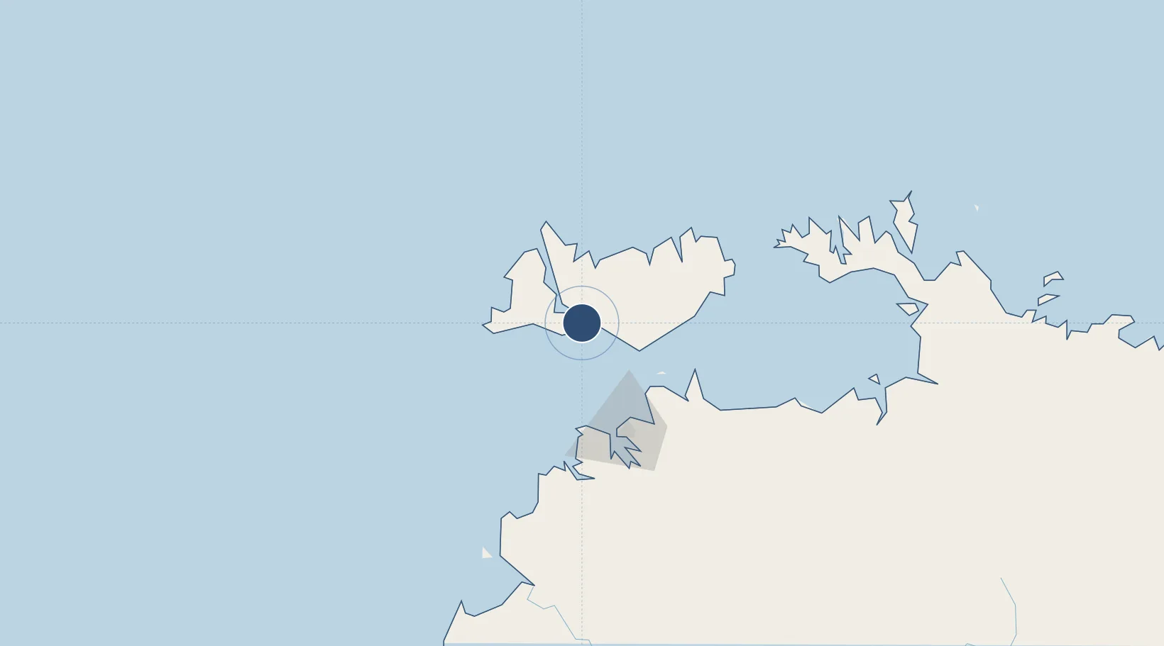
-11.7650°, 130.6158°
4,823 ft
Longest runway
1
Runways
67 ft
Elevation

Runway & Layout

Bathurst Island Airport runway & taxiway layout
Runway & taxiway layout — OpenStreetMap (ODbL) / OurAirports

Radio Frequencies

CTAF
126.7 MHz
FSS
118.15 MHz
BRISBANE CNTR
OurAirports

Runways · 1

RunwayDimensions SurfaceTrue headingLit
15/33 4,823 × 98ft Asphalt 150°
OurAirports

Airport Specifications

IATA code
BRT
OurAirports
ICAO code
YBTI
OurAirports
Airport class
Medium airport
OurAirports
Scheduled service
No
OurAirports
Runway surface
Asphalt
OurAirports
Served city
Wurrumiyanga
OurAirports

Location

Location of YBTI
Natural Earth 10m (public domain) · Northern Territory · YBTI · -11.76, 130.62GoogleOSMYandex

Nearby Logistics Neighbours

Airports
  1. 1Snake Bay Airport39 km
  2. 2Garden Point Airport46 km
  3. 3Darwin International Airport / RAAF Darwin78 km
  4. 4Port Keats Airport300 km
  5. 5Tindal Airport361 km
Nearest neighbours — logibook spatial index (haversine) over the source coordinates
Cities
  1. 1Melville Island42 km
  2. 2Winnellie80 km
  3. 3Palmerston82 km
  4. 4Darwin84 km
  5. 5Cape Don133 km
Nearest neighbours — logibook spatial index (haversine) over the source coordinates
Ports
  1. 1Darwin83 km
  2. 2Saumlaki427 km
  3. 3Wyndham493 km
  4. 4Dili658 km
  5. 5Gove664 km
Nearest neighbours — logibook spatial index (haversine) over the source coordinates
Trade Zones
  1. 1Atauro Special Economic Zone675 km
  2. 2Oecusse Ambeno Enclave Special Zone For Social Market Economy (Zeesm)741 km
  3. 3Western Province Special Economic Zone1172 km
  4. 4KEK Sorong1196 km
  5. 5Morowali Industrial Park1363 km
Nearest neighbours — logibook spatial index (haversine) over the source coordinates
DatabookThe Record of Consolidated Knowledge
Australia beyond logistics?
Browse databook

All Sources

AirportsOurAirports
Public domain
Portsthe NGA World Port Index
Public domain (US gov)
LocationsUN/LOCODE
UN/LOCODE — free
Trade Zonesthe World Bank SEZ database
CC BY 4.0
Trade ZonesOpen Zone Map
CC BY
InfrastructureOpenStreetMap
ODbL 1.0
← Australia airports