Medium airport · Australia

Port Keats AirportYPKT
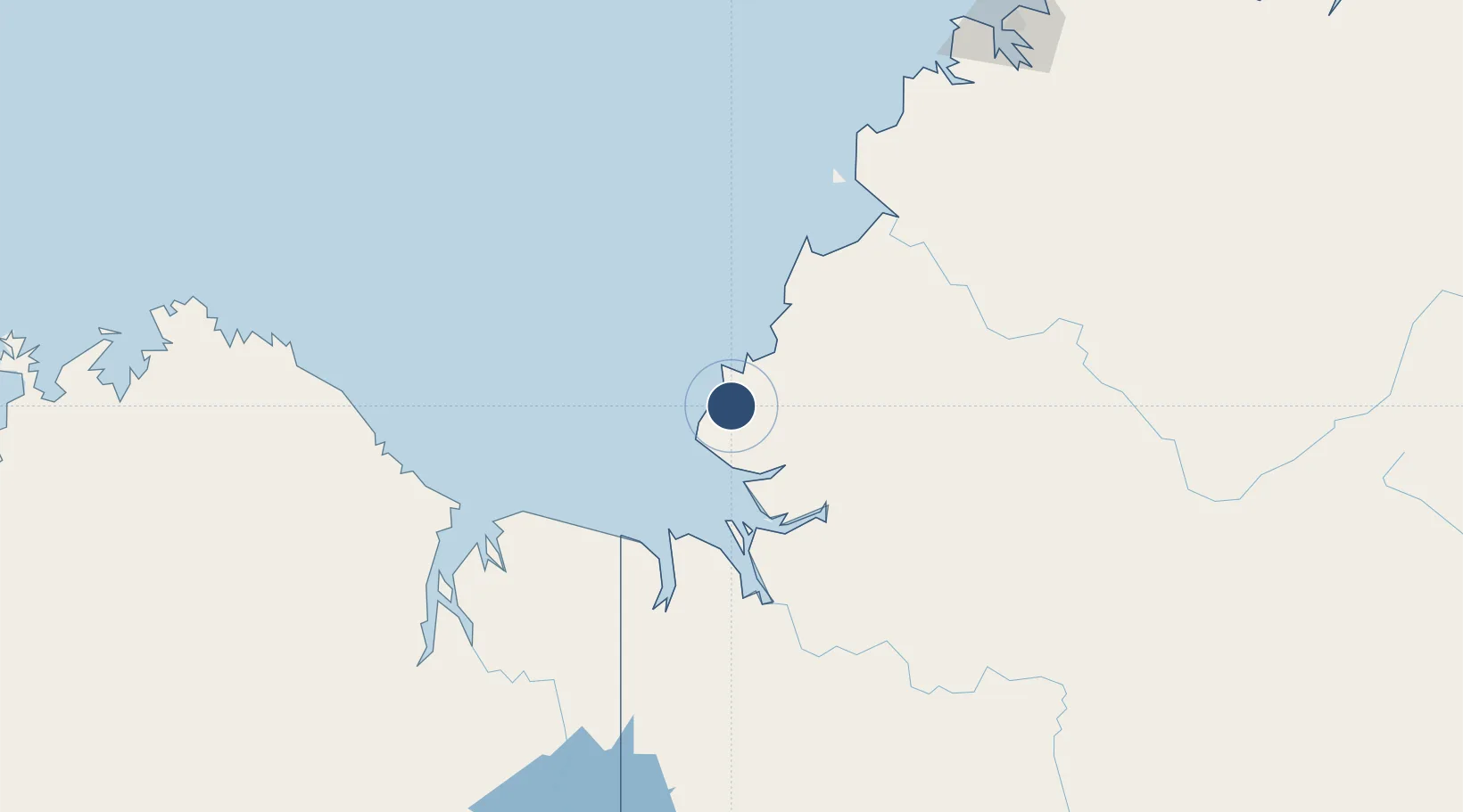
-14.2497°, 129.5295°
4,626 ft
Longest runway
1
Runways
91 ft
Elevation

Runway & Layout

Port Keats Airport runway & taxiway layout
Runway & taxiway layout — OpenStreetMap (ODbL) / OurAirports

Radio Frequencies

CTAF
126.7 MHz
FSS
118.15 MHz
BRISBANE CNTR
OurAirports

Runways · 1

RunwayDimensions SurfaceTrue headingLit
16/34 4,626 × 59ft Asphalt 161°
OurAirports

Airport Specifications

IATA code
PKT
OurAirports
ICAO code
YPKT
OurAirports
Airport class
Medium airport
OurAirports
Scheduled service
No
OurAirports
Runway surface
Asphalt
OurAirports
Served city
Wadeye
OurAirports

Location

Location of YPKT
Natural Earth 10m (public domain) · Northern Territory · YPKT · -14.25, 129.53GoogleOSMYandex

Nearby Logistics Neighbours

Airports
  1. 1Nackeroo Airfield179 km
  2. 2East Kimberley Regional (Kununurra) Airport192 km
  3. 3Darwin International Airport / RAAF Darwin251 km
  4. 4Bathurst Island Airport300 km
  5. 5Tindal Airport308 km
Nearest neighbours — logibook spatial index (haversine) over the source coordinates
Cities
  1. 1Blacktip Terminal26 km
  2. 2Palmerston243 km
  3. 3Darwin247 km
  4. 4Winnellie250 km
  5. 5Katherine296 km
Nearest neighbours — logibook spatial index (haversine) over the source coordinates
Ports
  1. 1Wyndham205 km
  2. 2Darwin244 km
  3. 3Saumlaki723 km
  4. 4Milner Bay744 km
  5. 5Dili767 km
Nearest neighbours — logibook spatial index (haversine) over the source coordinates
Trade Zones
  1. 1Oecusse Ambeno Enclave Special Zone For Social Market Economy (Zeesm)789 km
  2. 2Atauro Special Economic Zone795 km
  3. 3Western Province Special Economic Zone1414 km
  4. 4Bantaeng Industrial Park (BIP)1431 km
  5. 5Terpadu Takalar Industrial Estate1476 km
Nearest neighbours — logibook spatial index (haversine) over the source coordinates
DatabookThe Record of Consolidated Knowledge
Australia beyond logistics?
Browse databook

All Sources

AirportsOurAirports
Public domain
Portsthe NGA World Port Index
Public domain (US gov)
LocationsUN/LOCODE
UN/LOCODE — free
Trade Zonesthe World Bank SEZ database
CC BY 4.0
Trade ZonesOpen Zone Map
CC BY
InfrastructureOpenStreetMap
ODbL 1.0
← Australia airports