UN/LOCODE hub · Australia
AUDRW
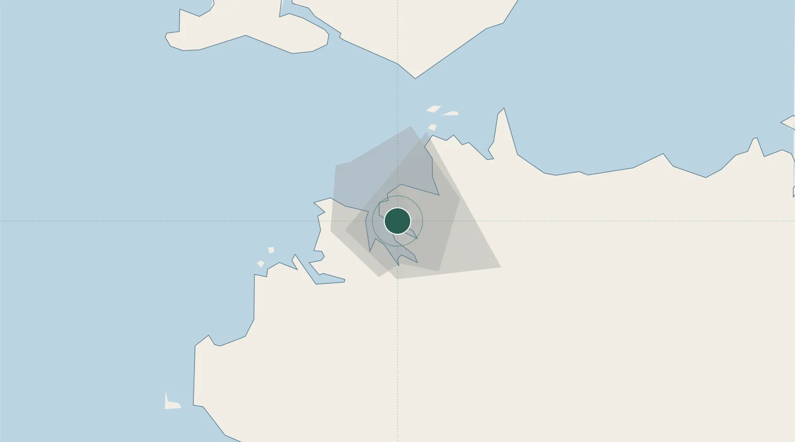
Darwin
-12.4706°, 130.8939°
139,902
Population
5
Transport functions
1
Container terminals
Transport Functions
Port
Rail
Road
Airport
Postal
Hub Profile
Place type
Regional capital
Region
Northern Territory
Population
139,902
Time zone
Australia/Darwin
Elevation
31 m
Logistics facilities
8
Container terminals
1
Location
Nearby Logistics Neighbours
Cities
- 1Winnellie4 km
- 2Palmerston7 km
- 3Melville Island103 km
- 4Cape Don159 km
- 5Black Point201 km
Ports
- 1Wyndham449 km
- 2Saumlaki501 km
- 3Milner Bay618 km
- 4Gove631 km
- 5Dili727 km
Airports
- 1Darwin International Airport / RAAF Darwin6 km
- 2Bathurst Island Airport84 km
- 3Snake Bay Airport120 km
- 4Garden Point Airport130 km
- 5Port Keats Airport247 km
Trade Zones
DatabookThe Record of Consolidated Knowledge
Australia beyond logistics?