Transport Functions
Port
Airport
Hub Profile
Region
WA
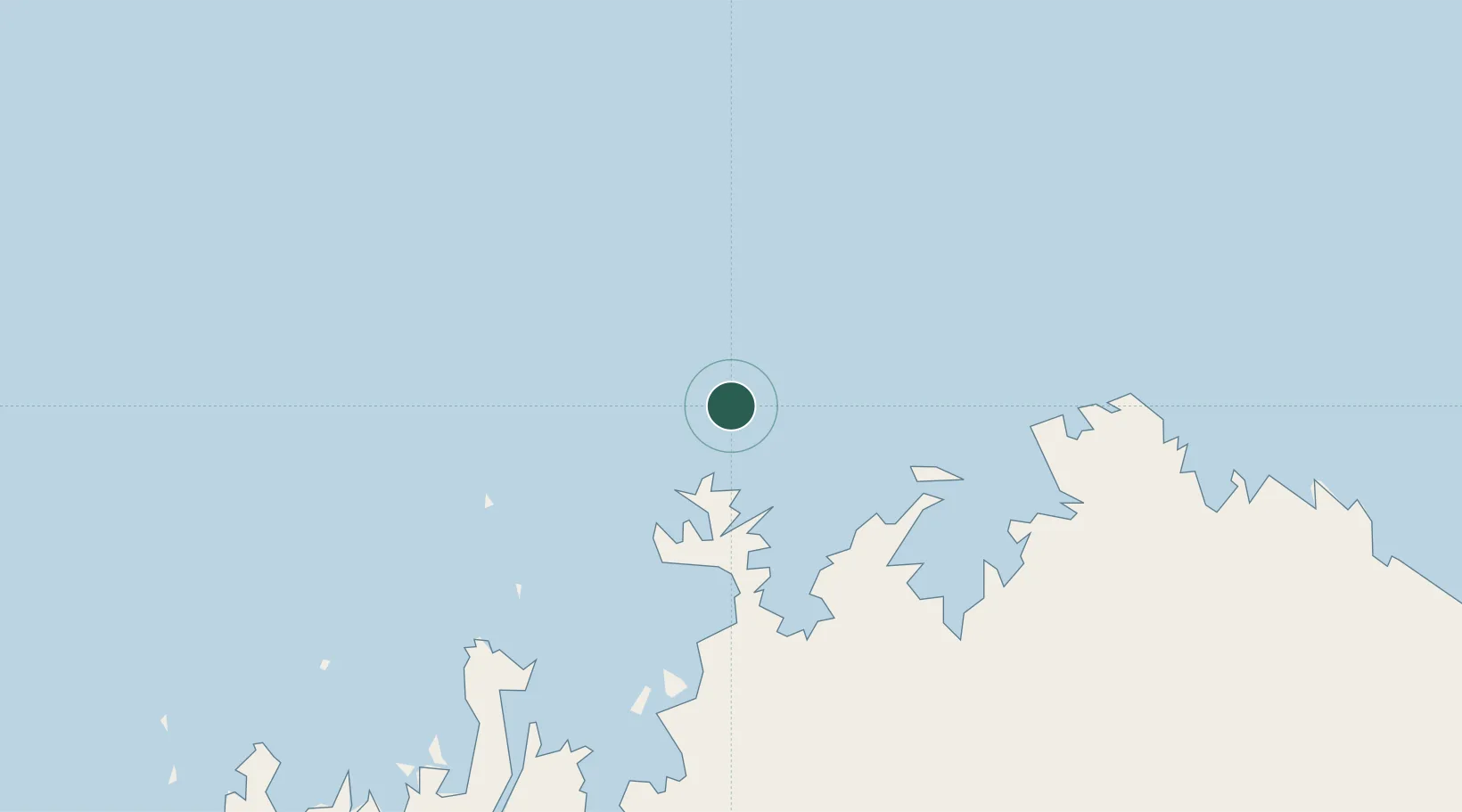
Location
Nearby Logistics Neighbours
Cities
- 1Challis Venture (oil Terminal)218 km
- 2Montara Field234 km
- 3Blacktip Terminal354 km
- 4Cockatoo Island376 km
- 5Kupang, Timor486 km
Airports
- 1East Kimberley Regional (Kununurra) Airport357 km
- 2Port Keats Airport371 km
- 3David Constantijn Saudale Airport470 km
- 4El Tari Airport480 km
- 5Derby Airport482 km
Trade Zones
DatabookThe Record of Consolidated Knowledge
Australia beyond logistics?