Channel & Berth Profile
Pilotage, Tugs & Services
Pilotage compulsoryYES
Pilotage availableYES
Tug assistanceNO
Salvage tugsNO
Shore powerNO
Potable waterYES
MedicalYES
Garbage disposalNO
Facilities & Capabilities
Container—
Ro-Ro—
Liquid bulk—
Dry bulk—
Oil terminal—
Break bulk—
Dry dock—
Repairs—
BunkeringYES
Rail link—
Dangerous cargo—
ISPS security—
Harbour Specifications
Harbour size
Very Small
Harbour type
River (Natural)
Shelter
Good
Water body
Joseph Bonaparte Gulf; Timor Sea; Indian Ocean
Tidal range
8 m
Pilotage
Yes
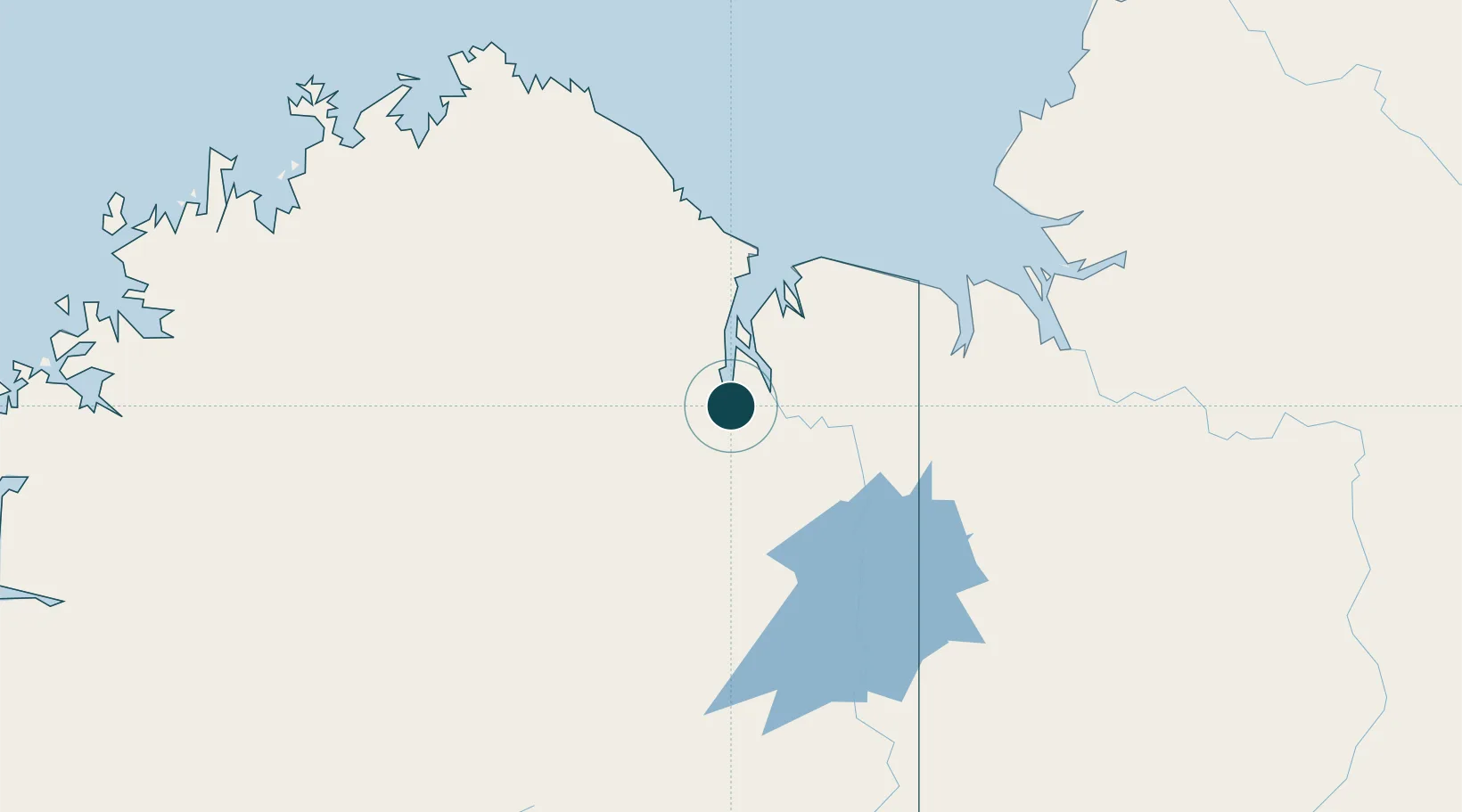
Location
Nearby Logistics Neighbours
Cities
- 1Blacktip Terminal179 km
- 2Troughton Island285 km
- 3Palmerston445 km
- 4Darwin449 km
- 5Winnellie452 km
Airports
- 1East Kimberley Regional (Kununurra) Airport74 km
- 2Port Keats Airport205 km
- 3Nackeroo Airfield255 km
- 4Halls Creek Airport311 km
- 5Kalkgurung Airport362 km
Trade Zones
DatabookThe Record of Consolidated Knowledge
Australia beyond logistics?