Large airport · Australia
Darwin International Airport / RAAF DarwinYPDN
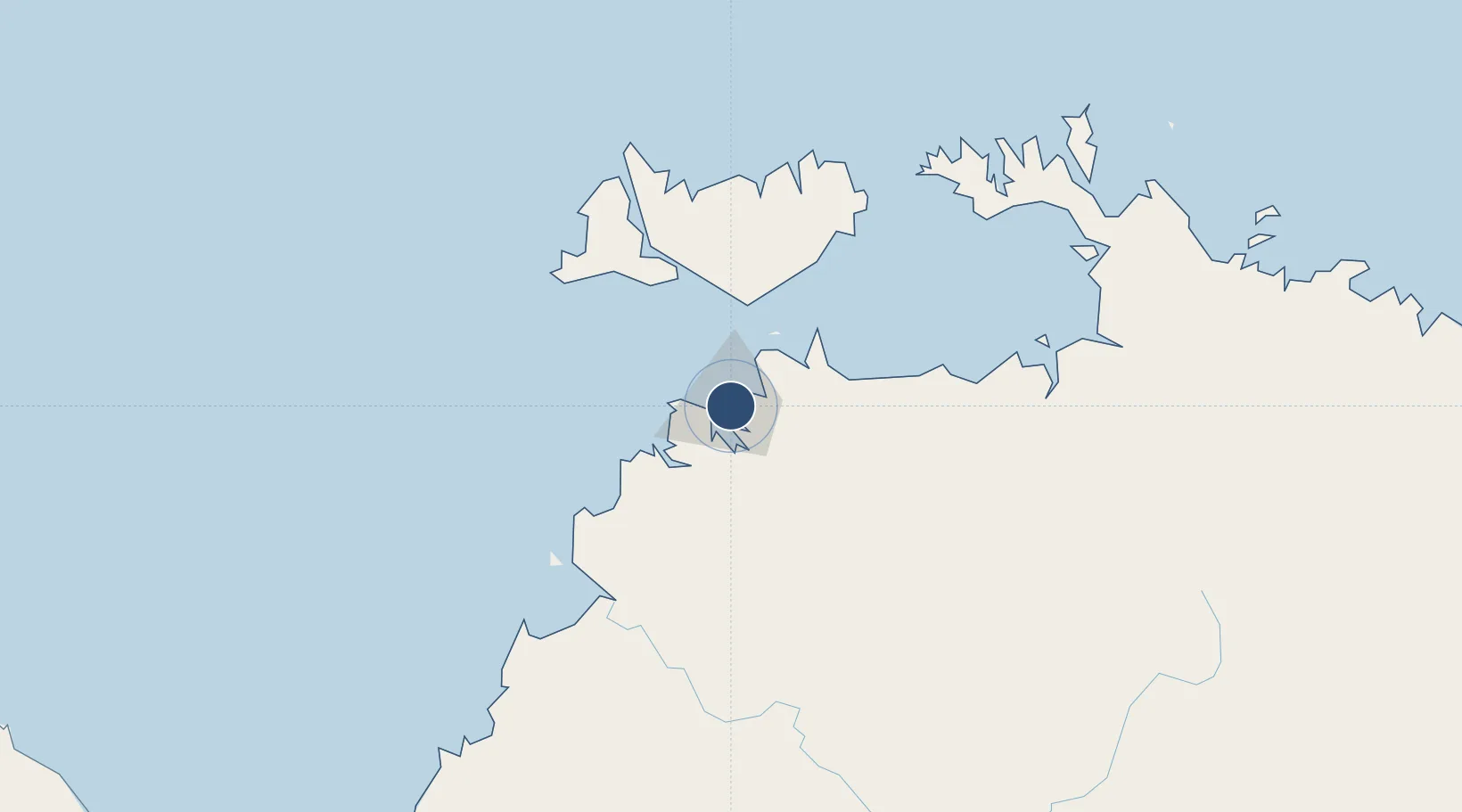
-12.4150°, 130.8818°
11,004 ft
Longest runway
2
Runways
103 ft
Elevation
Runway & Layout

Radio Frequencies
ATIS
112.6 MHz
TWR
133.1 MHz
GND
121.8 MHz
CLD
126.8 MHz
CLNC DEL
DEP
123 MHz
A/D
125.2 MHz
APP
ARTC
118.15 MHz
BRISBANE CNTR
MISC
897.4 MHz
RAAF AIR OPS
Navaids
BGT NDB Bagot 308 kHz
DAR TACAN Darwin 113.70 MHz
DN VOR-DME Darwin 112.60 MHz
DN NDB Darwin 344 kHz
HWS NDB Howard Springs 257 kHz
Runways · 2
| Runway | Dimensions | Surface | True heading | Lit |
|---|---|---|---|---|
| 11/29 | 11,004 × 197ft | Asphalt | 109° | ✓ |
| 18/36 | 5,000 × 98ft | Asphalt | 180° | ✓ |
Airport Specifications
IATA code
DRW
ICAO code
YPDN
Airport class
Large airport
Scheduled service
Yes
Runway surface
Asphalt
Served city
Darwin
Location
Nearby Logistics Neighbours
Airports
- 1Bathurst Island Airport78 km
- 2Snake Bay Airport114 km
- 3Garden Point Airport123 km
- 4Port Keats Airport251 km
- 5Tindal Airport285 km
Cities
- 1Winnellie2 km
- 2Darwin6 km
- 3Palmerston8 km
- 4Melville Island96 km
- 5Cape Don154 km
Ports
- 1Darwin7 km
- 2Wyndham453 km
- 3Saumlaki495 km
- 4Milner Bay621 km
- 5Gove633 km
Trade Zones
DatabookThe Record of Consolidated Knowledge
Australia beyond logistics?