Transport Functions
Rail
Road
Multimodal
Hub Profile
Place type
Urban district
Region
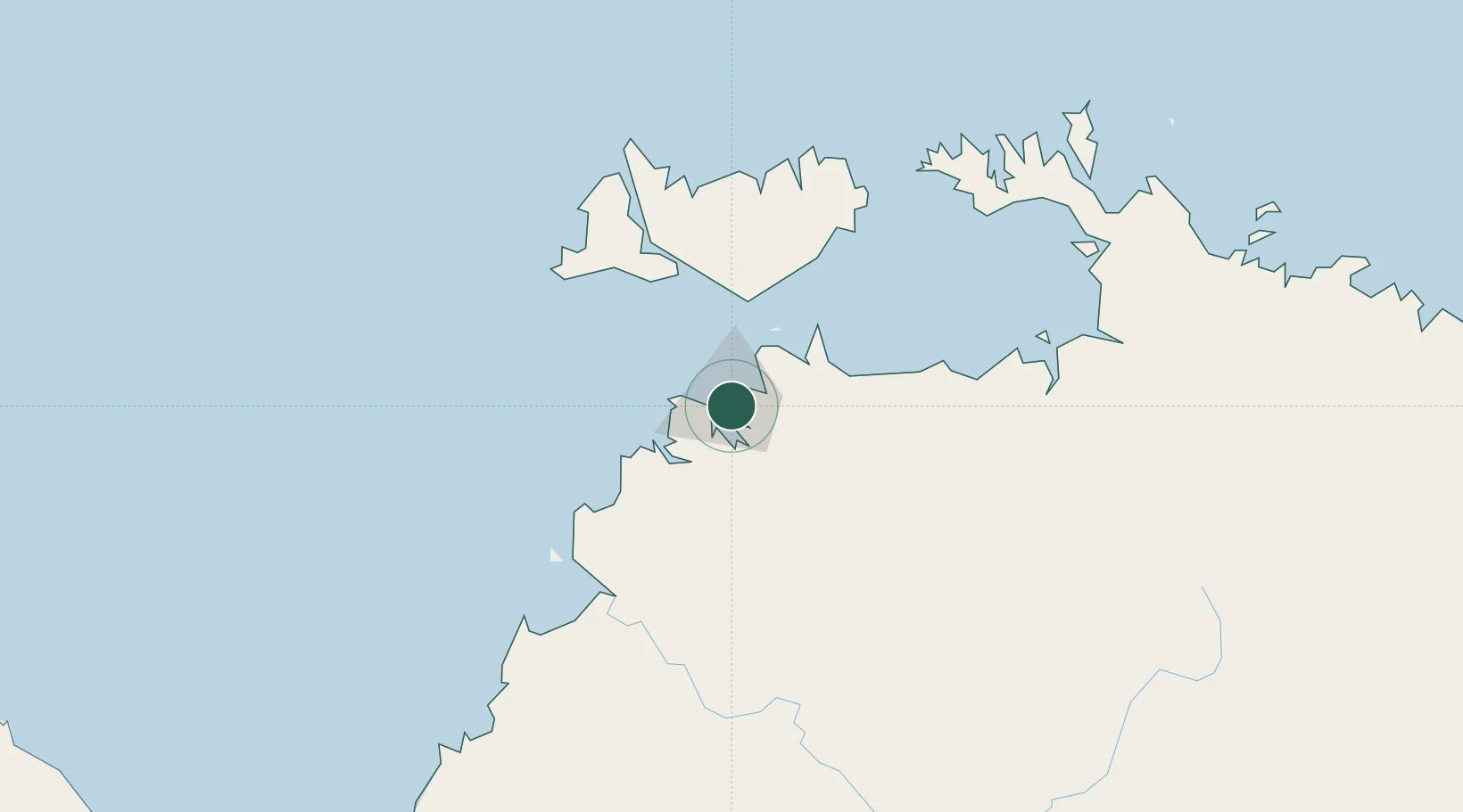
Northern Territory
Population
568
Time zone
Australia/Darwin
Elevation
23 m
Location
Nearby Logistics Neighbours
Cities
- 1Darwin4 km
- 2Palmerston7 km
- 3Melville Island98 km
- 4Cape Don156 km
- 5Black Point198 km
Ports
- 1Darwin6 km
- 2Wyndham452 km
- 3Saumlaki497 km
- 4Milner Bay620 km
- 5Gove632 km
Airports
- 1Darwin International Airport / RAAF Darwin2 km
- 2Bathurst Island Airport80 km
- 3Snake Bay Airport116 km
- 4Garden Point Airport125 km
- 5Port Keats Airport250 km
Trade Zones
DatabookThe Record of Consolidated Knowledge
Australia beyond logistics?