Medium airport · Australia

East Kimberley Regional (Kununurra) AirportYPKU
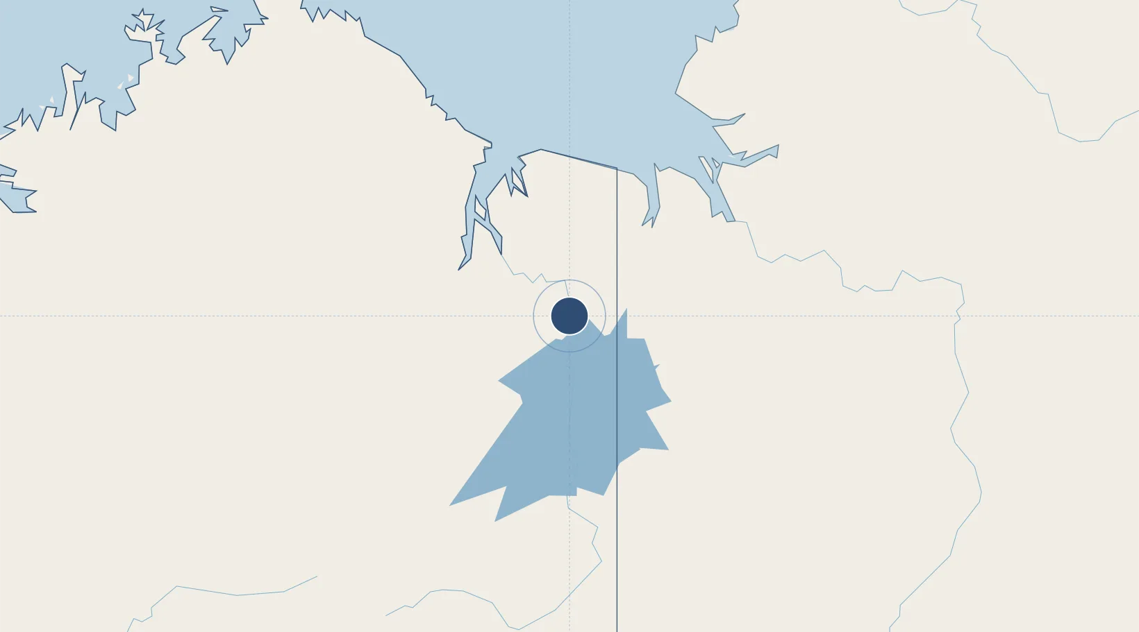
-15.7781°, 128.7080°
6,000 ft
Longest runway
1
Runways
145 ft
Elevation

Runway & Layout

East Kimberley Regional (Kununurra) Airport runway & taxiway layout
Runway & taxiway layout — OpenStreetMap (ODbL) / OurAirports

Radio Frequencies

CTAF
127 MHz
FSS
122.4 MHz
BRISBANE CNTR
OurAirports

Navaids

KU VOR-DME Kununurra 116.50 MHz
KU NDB Kununurra 221 kHz
OurAirports

Runways · 1

RunwayDimensions SurfaceTrue headingLit
12/30 6,000 × 98ft Asphalt 119°
OurAirports

Airport Specifications

IATA code
KNX
OurAirports
ICAO code
YPKU
OurAirports
Airport class
Medium airport
OurAirports
Scheduled service
Yes
OurAirports
Runway surface
Asphalt
OurAirports
Served city
Kununurra
OurAirports

Location

Location of YPKU
Natural Earth 10m (public domain) · Western Australia · YPKU · -15.78, 128.71GoogleOSMYandex

Nearby Logistics Neighbours

Airports
  1. 1Nackeroo Airfield191 km
  2. 2Port Keats Airport192 km
  3. 3Kalkgurung Airport290 km
  4. 4Halls Creek Airport295 km
  5. 5Hooker Creek Airport351 km
Nearest neighbours — logibook spatial index (haversine) over the source coordinates
Cities
  1. 1Blacktip Terminal168 km
  2. 2Troughton Island357 km
  3. 3Katherine409 km
  4. 4Palmerston434 km
  5. 5Darwin437 km
Nearest neighbours — logibook spatial index (haversine) over the source coordinates
Ports
  1. 1Wyndham74 km
  2. 2Darwin434 km
  3. 3Broome731 km
  4. 4Kupang835 km
  5. 5Milner Bay855 km
Nearest neighbours — logibook spatial index (haversine) over the source coordinates
Trade Zones
  1. 1Oecusse Ambeno Enclave Special Zone For Social Market Economy (Zeesm)862 km
  2. 2Atauro Special Economic Zone905 km
  3. 3Bantaeng Industrial Park (BIP)1491 km
  4. 4Terpadu Takalar Industrial Estate1531 km
  5. 5KEK Mandalika1549 km
Nearest neighbours — logibook spatial index (haversine) over the source coordinates
DatabookThe Record of Consolidated Knowledge
Australia beyond logistics?
Browse databook

All Sources

AirportsOurAirports
Public domain
Portsthe NGA World Port Index
Public domain (US gov)
LocationsUN/LOCODE
UN/LOCODE — free
Trade Zonesthe World Bank SEZ database
CC BY 4.0
Trade ZonesOpen Zone Map
CC BY
InfrastructureOpenStreetMap
ODbL 1.0
← Australia airports