Transport Functions
Port
Airport
Hub Profile
Place type
Populated place
Region
Northern Territory
Population
5,980
Time zone
Australia/Darwin
Elevation
110 m
Logistics facilities
1
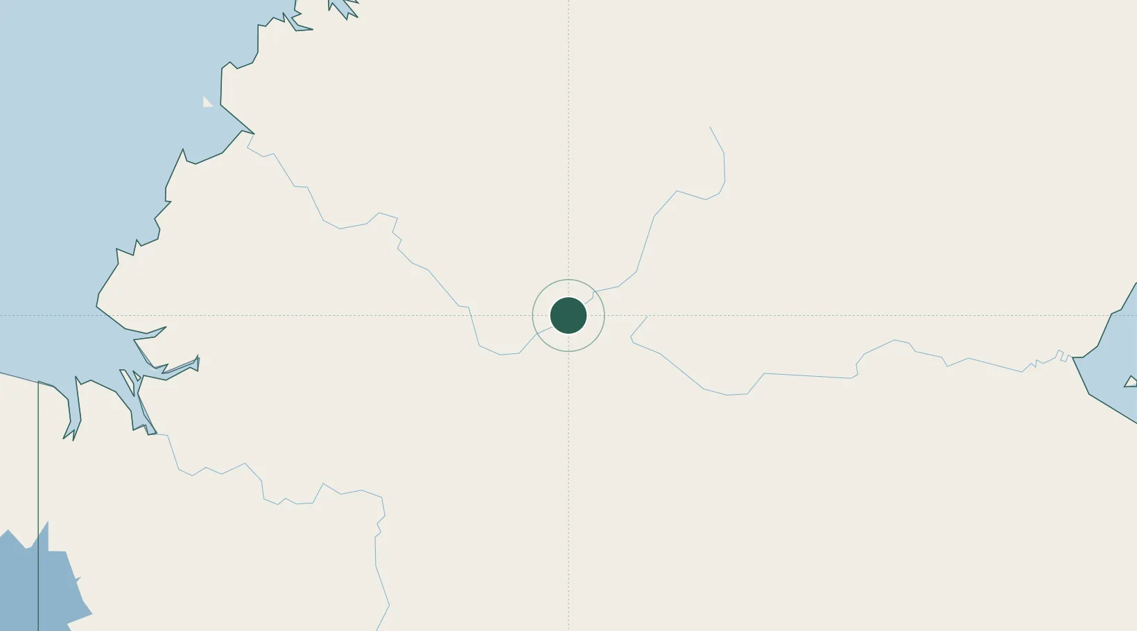
Location
Nearby Logistics Neighbours
Cities
- 1Darwin267 km
- 2Palmerston271 km
- 3Winnellie271 km
- 4Blacktip Terminal314 km
- 5Cape Don354 km
Ports
- 1Darwin269 km
- 2Milner Bay453 km
- 3Wyndham461 km
- 4Gove542 km
- 5Saumlaki728 km
Airports
- 1Tindal Airport14 km
- 2Nackeroo Airfield229 km
- 3Ngukurr Airport269 km
- 4Darwin International Airport / RAAF Darwin273 km
- 5Port Keats Airport296 km
Trade Zones
DatabookThe Record of Consolidated Knowledge
Australia beyond logistics?