Runway & Layout

Airport Specifications
ICAO code
YNKR
Airport class
Medium airport
Scheduled service
No
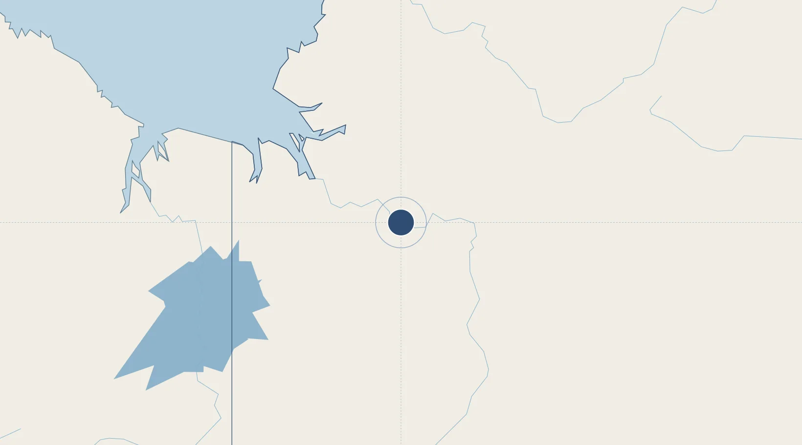
Location
Nearby Logistics Neighbours
Airports
- 1Port Keats Airport179 km
- 2East Kimberley Regional (Kununurra) Airport191 km
- 3Kalkgurung Airport209 km
- 4Tindal Airport236 km
- 5Hooker Creek Airport307 km
Cities
- 1Blacktip Terminal178 km
- 2Katherine229 km
- 3Palmerston348 km
- 4Darwin349 km
- 5Winnellie352 km
Ports
- 1Wyndham255 km
- 2Darwin348 km
- 3Milner Bay667 km
- 4Gove770 km
- 5Saumlaki849 km
Trade Zones
DatabookThe Record of Consolidated Knowledge
Australia beyond logistics?