Seaport · Australia
DarwinAUDRW
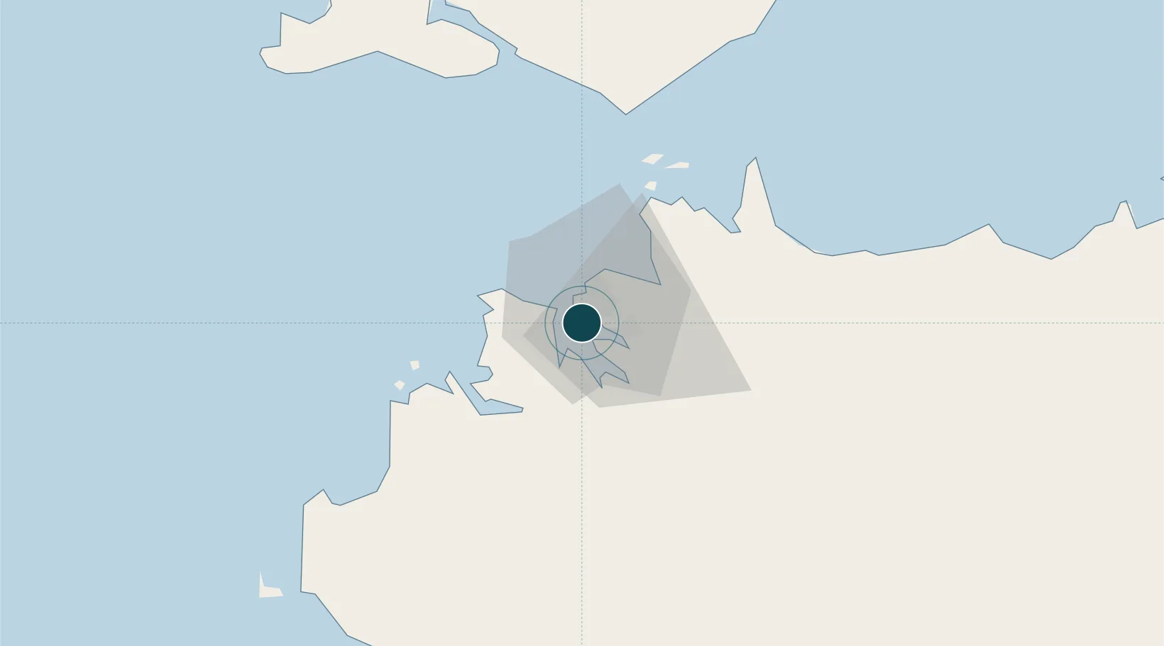
-12.4714°, 130.8478°
18.6 m
Channel depth
1
Container terminals
30.1
Port liner connectivity
Channel & Berth Profile
Pilotage, Tugs & Services
Pilotage compulsoryYES
Pilotage availableYES
Tug assistanceYES
Shore powerYES
Potable waterYES
MedicalYES
Garbage disposalYES
Facilities & Capabilities
ContainerYES
Ro-RoYES
Liquid bulkYES
Dry bulkYES
Oil terminal—
Break bulkYES
Dry dockNO
RepairsNO
BunkeringYES
Rail linkYES
Dangerous cargo—
ISPS security—
Harbour Specifications
Harbour size
Medium
Harbour type
Coastal (Natural)
Shelter
Excellent
Water body
Timor Sea; Indian Ocean
Tidal range
3 m
Overhead limit
Yes
Pilotage
Yes
Liner Connectivity
30.1
PLSCI
Port Liner Shipping Connectivity Index for Darwin, as published by UNCTAD for the latest available quarter. Higher values indicate stronger scheduled liner-shipping integration.
Shown relative to the highest per-port PLSCI in the dataset (1,657.9).
Location
Container Terminals · 1
DARWIN EAST ARM WHARF
CONDW DARWIN PORT OPERATIONS PTY LTD
Nearby Logistics Neighbours
Ports
- 1Wyndham446 km
- 2Saumlaki502 km
- 3Milner Bay623 km
- 4Gove636 km
- 5Dili723 km
Cities
- 1Palmerston2 km
- 2Winnellie6 km
- 3Melville Island103 km
- 4Cape Don162 km
- 5Black Point204 km
Airports
- 1Darwin International Airport / RAAF Darwin7 km
- 2Bathurst Island Airport83 km
- 3Snake Bay Airport119 km
- 4Garden Point Airport128 km
- 5Port Keats Airport244 km
Trade Zones
DatabookThe Record of Consolidated Knowledge
Australia beyond logistics?