Medium airport · Australia
Moree AirportYMOR
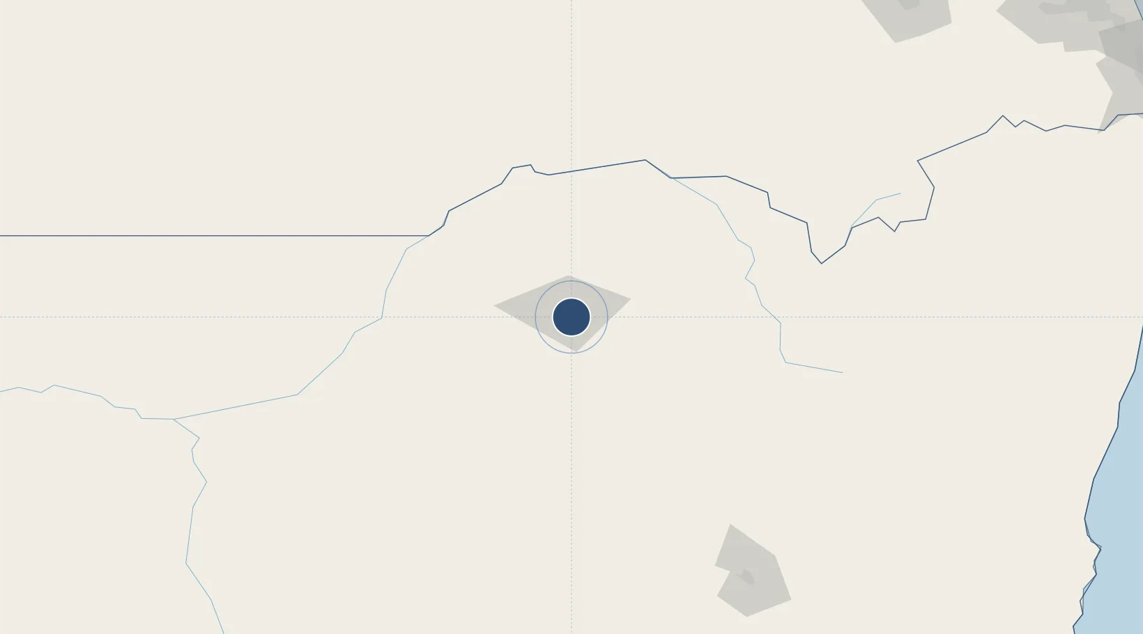
-29.4989°, 149.8450°
5,292 ft
Longest runway
2
Runways
701 ft
Elevation
Runway & Layout

Radio Frequencies
CTAF
126.7 MHz
CTAF/UNICOM
FSS
127.1 MHz
BRISBANE CNTR
Navaids
MOR NDB Moree 392 kHz
Runways · 2
| Runway | Dimensions | Surface | True heading | Lit |
|---|---|---|---|---|
| 01/19 | 5,292 × 98ft | Asphalt | 017° | ✓ |
| 05/23 | 3,205 × 60ft | Gravel | 058° | — |
Airport Specifications
IATA code
MRZ
ICAO code
YMOR
Airport class
Medium airport
Scheduled service
Yes
Runway surface
Asphalt
Served city
Moree
Location
Nearby Logistics Neighbours
Airports
- 1Narrabri Airport91 km
- 2Inverell Airport133 km
- 3Gunnedah Airport167 km
- 4Walgett Airport176 km
- 5Glen Innes Airport180 km
Cities
- 1Burren Junction108 km
- 2Sylvania Waters207 km
- 3Clontarf217 km
- 4Werris Creek221 km
- 5Dunedoo283 km
Ports
- 1Ballina368 km
- 2Brisbane385 km
- 3Newcastle422 km
- 4Sydney502 km
- 5Botany Bay517 km
Trade Zones
DatabookThe Record of Consolidated Knowledge
Australia beyond logistics?