Medium airport · Australia
Lightning Ridge AirportYLRD
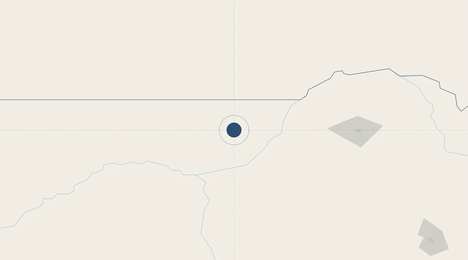
-29.4529°, 147.9771°
4,613 ft
Longest runway
2
Runways
540 ft
Elevation
Runway & Layout

Radio Frequencies
CTAF
126.7 MHz
FSS
127.1 MHz
BRISBANE CNTR
Runways · 2
| Runway | Dimensions | Surface | True heading | Lit |
|---|---|---|---|---|
| 10/28 | 4,613 × 60ft | Asphalt | 110° | ✓ |
| 04/22 | 2,405 × 98ft | Gravel | 048° | ✓ |
Airport Specifications
IATA code
LHG
ICAO code
YLRD
Airport class
Medium airport
Scheduled service
Yes
Runway surface
Asphalt
Location
Nearby Logistics Neighbours
Airports
- 1Walgett Airport66 km
- 2Dirranbandi Airport99 km
- 3Brewarrina Airport127 km
- 4St George Airport167 km
- 5Coonamble Airport174 km
Cities
- 1Burren Junction120 km
- 2Coolabah213 km
- 3Narromine310 km
- 4Dunedoo316 km
- 5Tottenham317 km
Ports
- 1Newcastle529 km
- 2Brisbane541 km
- 3Ballina547 km
- 4Sydney578 km
- 5Botany Bay592 km
Trade Zones
DatabookThe Record of Consolidated Knowledge
Australia beyond logistics?