Medium airport · Australia
Walgett AirportYWLG
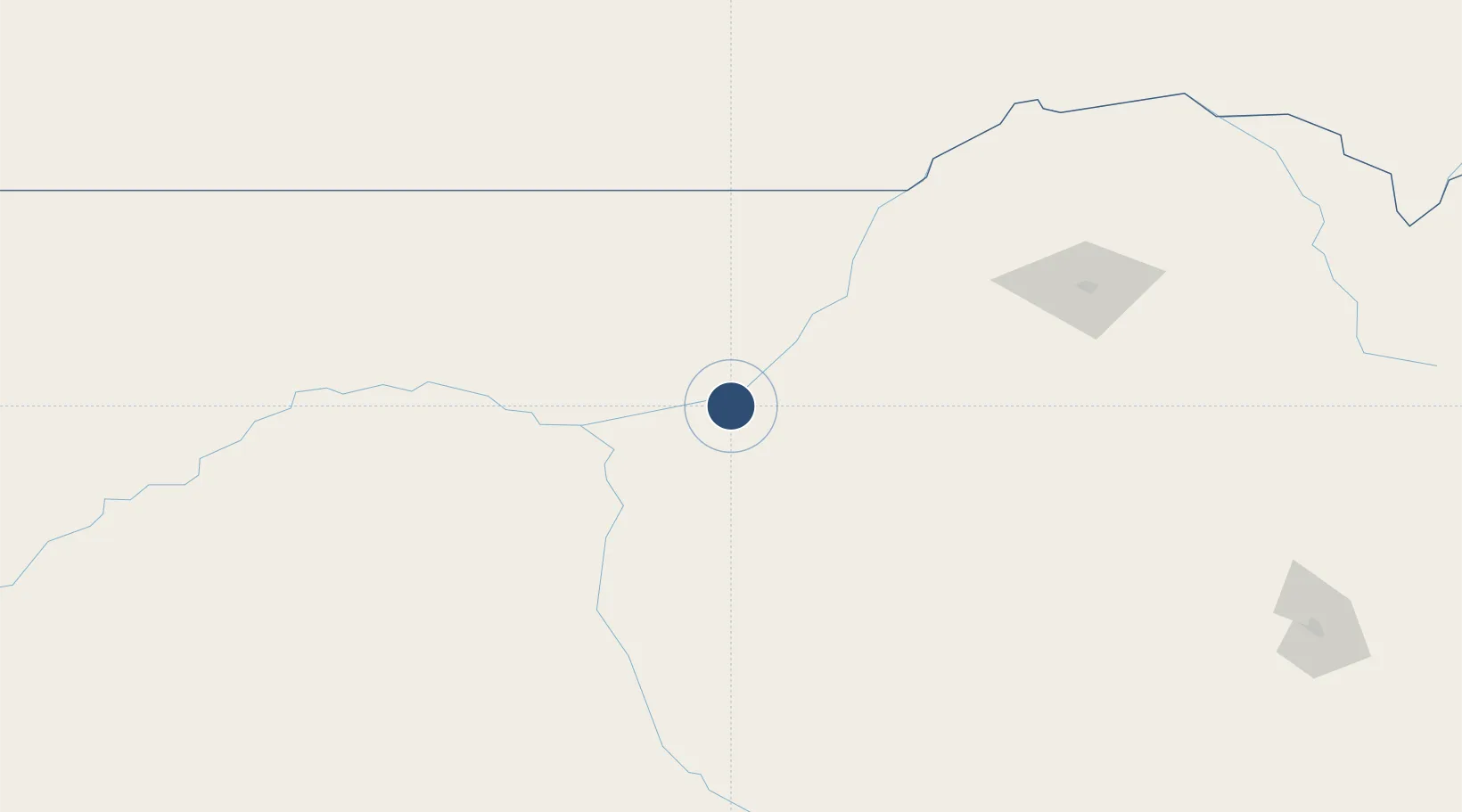
-30.0328°, 148.1260°
5,335 ft
Longest runway
2
Runways
439 ft
Elevation
Runway & Layout

Radio Frequencies
CTAF
126.7 MHz
FSS
127.1 MHz
BRISBANE CNTR
Navaids
WLG VOR Walgett 117.60 MHz
WLG NDB Walgett 374 kHz
Runways · 2
| Runway | Dimensions | Surface | True heading | Lit |
|---|---|---|---|---|
| 05/23 | 5,335 × 98ft | Asphalt | 058° | ✓ |
| 18/36 | 3,783 × 98ft | Grass | 191° | ✓ |
Airport Specifications
IATA code
WGE
ICAO code
YWLG
Airport class
Medium airport
Scheduled service
Yes
Runway surface
Asphalt
Location
Nearby Logistics Neighbours
Airports
- 1Lightning Ridge Airport66 km
- 2Coonamble Airport108 km
- 3Brewarrina Airport127 km
- 4Dirranbandi Airport161 km
- 5Narrabri Airport167 km
Cities
- 1Burren Junction81 km
- 2Coolabah175 km
- 3Narromine245 km
- 4Dunedoo252 km
- 5Tottenham257 km
Ports
- 1Newcastle472 km
- 2Sydney516 km
- 3Botany Bay530 km
- 4Ballina543 km
- 5Brisbane557 km
Trade Zones
DatabookThe Record of Consolidated Knowledge
Australia beyond logistics?