Small airport · Australia

Pormpuraaw AirportYPMP
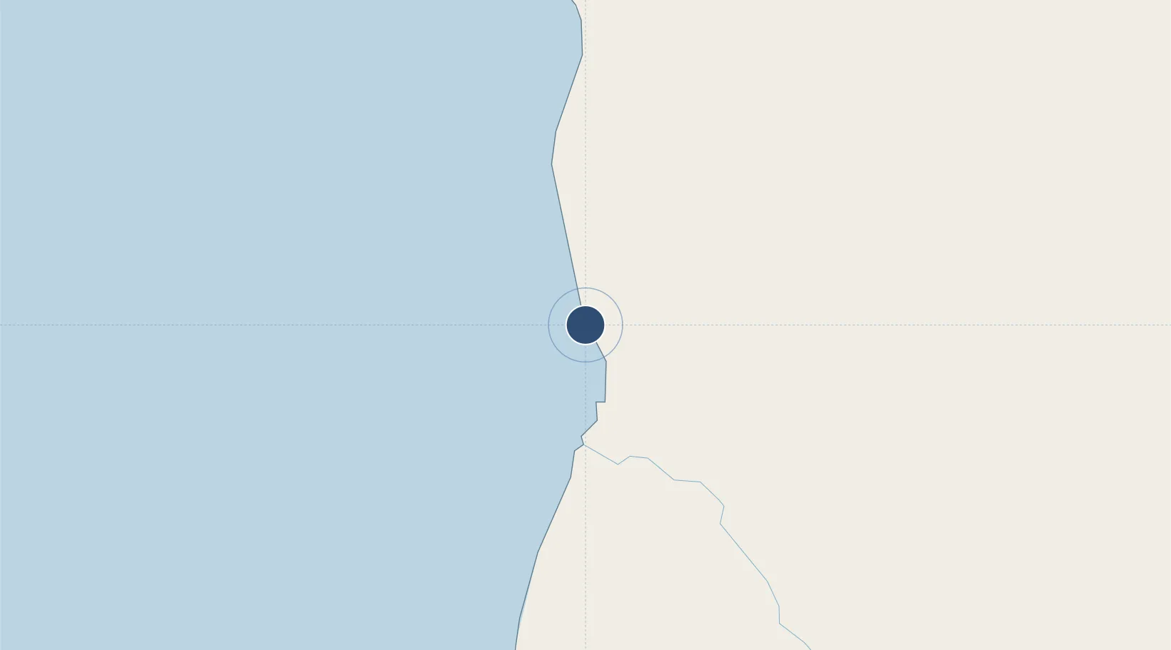
-14.8965°, 141.6091°
4,462 ft
Longest runway
1
Runways
10 ft
Elevation

Runway & Layout

Pormpuraaw Airport runway & taxiway layout
Runway & taxiway layout — OpenStreetMap (ODbL) / OurAirports

Radio Frequencies

CTAF
126.7 MHz
FSS
118.2 MHz
BRISBANE CNTR
OurAirports

Runways · 1

RunwayDimensions SurfaceTrue headingLit
14/32 4,462 × 98ft Asphalt 151°
OurAirports

Airport Specifications

IATA code
EDR
OurAirports
ICAO code
YPMP
OurAirports
Airport class
Small airport
OurAirports
Scheduled service
Yes
OurAirports
Runway surface
Asphalt
OurAirports
Served city
Pormpuraaw
OurAirports

Location

Location of YPMP
Natural Earth 10m (public domain) · Queensland · YPMP · -14.90, 141.61GoogleOSMYandex

Nearby Logistics Neighbours

Airports
  1. 1Kowanyama Airport67 km
  2. 2Aurukun Airport172 km
  3. 3Coen Airport205 km
  4. 4Weipa Airport249 km
  5. 5Karumba Airport297 km
Nearest neighbours — logibook spatial index (haversine) over the source coordinates
Cities
  1. 1Amrun220 km
  2. 2Evans Landing249 km
  3. 3Karumba299 km
  4. 4Skardon River353 km
  5. 5Burketown385 km
Nearest neighbours — logibook spatial index (haversine) over the source coordinates
Ports
  1. 1Weipa250 km
  2. 2Karumba299 km
  3. 3Cape Flattery Harbor402 km
  4. 4Thursday Island484 km
  5. 5Cairns500 km
Nearest neighbours — logibook spatial index (haversine) over the source coordinates
Trade Zones
  1. 1Paga Hill Estate Special Economic Zone851 km
  2. 2Ihu Special Economic Zone881 km
  3. 3Western Province Special Economic Zone903 km
  4. 4Morobe Agricultural Special Economic Zone1025 km
  5. 5Nadzab (Momase) Special Economic Zone1083 km
Nearest neighbours — logibook spatial index (haversine) over the source coordinates
DatabookThe Record of Consolidated Knowledge
Australia beyond logistics?
Browse databook

All Sources

AirportsOurAirports
Public domain
Portsthe NGA World Port Index
Public domain (US gov)
LocationsUN/LOCODE
UN/LOCODE — free
Trade Zonesthe World Bank SEZ database
CC BY 4.0
Trade ZonesOpen Zone Map
CC BY
InfrastructureOpenStreetMap
ODbL 1.0
← Australia airports