UN/LOCODE hub · Antarctica
AQMAW
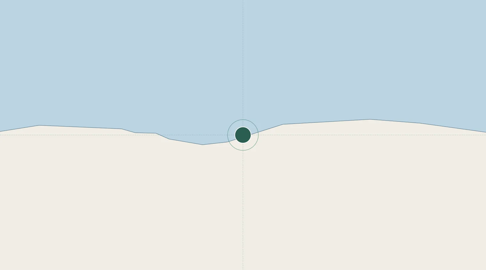
Mawson Station
-67.6000°, 62.8667°
53
Population
1
Transport functions
Transport Functions
Port
Hub Profile
Place type
Populated place
Population
53
Time zone
Antarctica/Mawson
Location
Nearby Logistics Neighbours
Cities
- 1Zhongshan584 km
- 2Law Base584 km
- 3Progress585 km
- 4Davis Station634 km
- 5Syowa964 km
Ports
- 1Port Elizabeth4428 km
- 2East London4450 km
- 3Mossel Bay4524 km
- 4Simonstown4657 km
- 5Cape Town4685 km
Airports
- 1Chief Dawid Stuurman International Airport4425 km
- 2King Phalo Airport4452 km
- 3Bisho Airport4484 km
- 4Port St Johns Airport4550 km
- 5K. D. Matanzima Airport4582 km
Trade Zones
- 1Coega Industrial Development Zone4446 km
- 2East London Industrial Development Zone4450 km
- 3Dimbaza Industrial Park4494 km
- 4Somerset East Industrial Park4555 km
- 5Vulindlela Industrial Park4573 km
DatabookThe Record of Consolidated Knowledge
Antarctica beyond logistics?