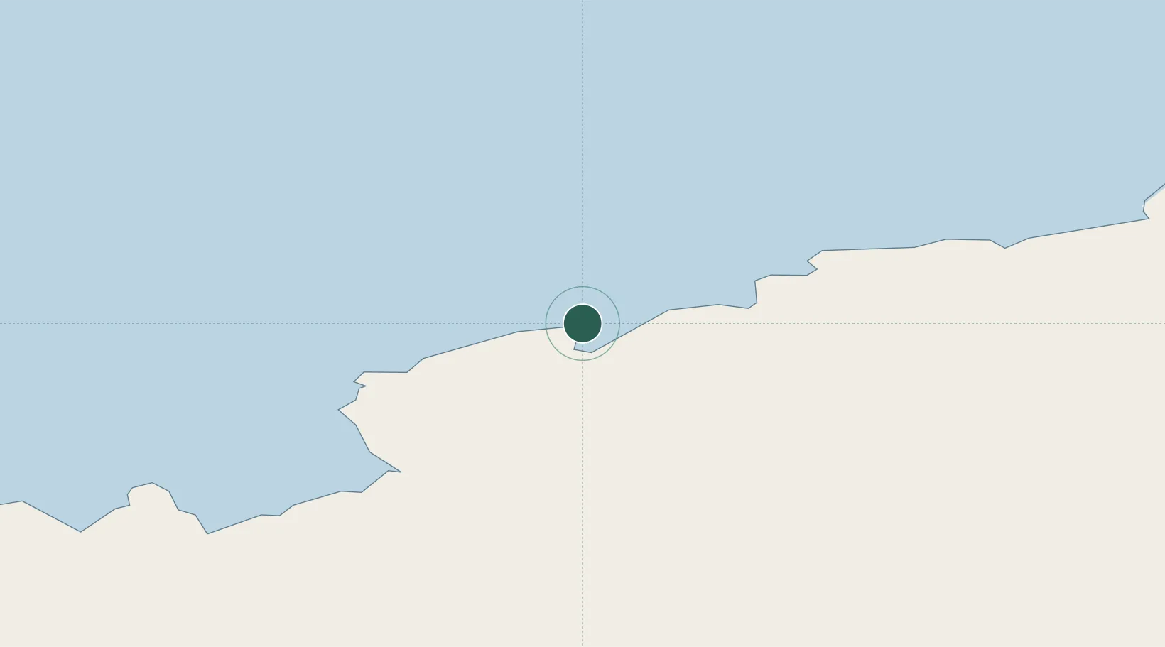
UN/LOCODE hub · Antarctica
AQPRO

Progress

-69.4000°, 76.3833°
1
Transport functions

Transport Functions

Port
UN/LOCODE

Location

Location of AQPRO
Natural Earth 10m (public domain) · Antarctica · AQPRO · -69.40, 76.38GoogleOSMYandex

Nearby Logistics Neighbours

Cities
  1. 1Law Base2 km
  2. 2Zhongshan4 km
  3. 3Davis Station112 km
  4. 4Mawson Station585 km
  5. 5Mirny759 km
Nearest neighbours — logibook spatial index (haversine) over the source coordinates
Ports
  1. 1Albany4574 km
  2. 2Bunbury4683 km
  3. 3Fremantle4819 km
  4. 4Esperance4828 km
  5. 5Geraldton5130 km
Nearest neighbours — logibook spatial index (haversine) over the source coordinates
Airports
  1. 1Vostok Skiway1345 km
  2. 2Albany Airport4581 km
  3. 3Busselton Margaret River Regional Airport4637 km
  4. 4Perth Jandakot Airport4818 km
  5. 5Perth International Airport4838 km
Nearest neighbours — logibook spatial index (haversine) over the source coordinates
Trade Zones
  1. 1Dube TradePort5262 km
  2. 2Dube TradeZone5263 km
  3. 3Dube AgriZone5264 km
  4. 4Durban Aerotropolis5267 km
  5. 5Ehoala Park5294 km
Nearest neighbours — logibook spatial index (haversine) over the source coordinates
DatabookThe Record of Consolidated Knowledge
Antarctica beyond logistics?
Browse databook

All Sources

LocationsUN/LOCODE
UN/LOCODE — free
Portsthe NGA World Port Index
Public domain (US gov)
AirportsOurAirports
Public domain
Trade Zonesthe World Bank SEZ database
CC BY 4.0
Trade ZonesOpen Zone Map
CC BY
← Antarctica locations