Transport Functions
Port
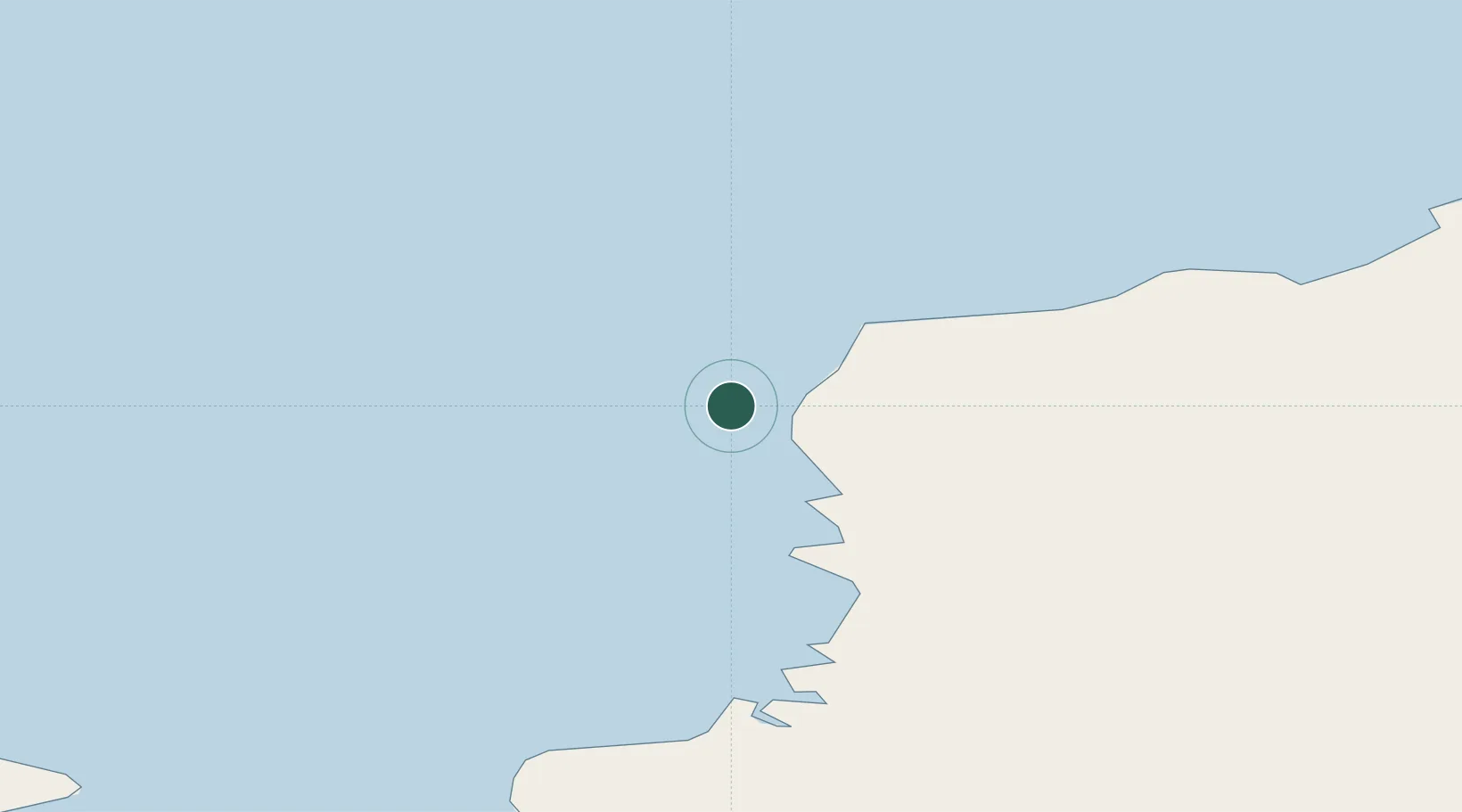
Location
Nearby Logistics Neighbours
Cities
- 1Mawson Station964 km
- 2McDonald Island2455 km
- 3Heard Island2490 km
- 4Rosia Montana2687 km
- 5Port-aux-Français2738 km
Ports
- 1Port Elizabeth3993 km
- 2Mossel Bay4022 km
- 3East London4066 km
- 4Simonstown4089 km
- 5Cape Town4118 km
Airports
- 1(Duplicate)Wolf's Fang Runway1175 km
- 2Chief Dawid Stuurman International Airport3990 km
- 3Plettenberg Bay Airport4012 km
- 4George Airport4037 km
- 5King Phalo Airport4067 km
Trade Zones
- 1Coega Industrial Development Zone4013 km
- 2East London Industrial Development Zone4065 km
- 3Dimbaza Industrial Park4097 km
- 4Somerset East Industrial Park4127 km
- 5Atlantis Special Economic Zone4153 km
DatabookThe Record of Consolidated Knowledge
Antarctica beyond logistics?