Transport Functions
Port
Hub Profile
Place type
Populated place
Population
91
Time zone
Antarctica/Davis
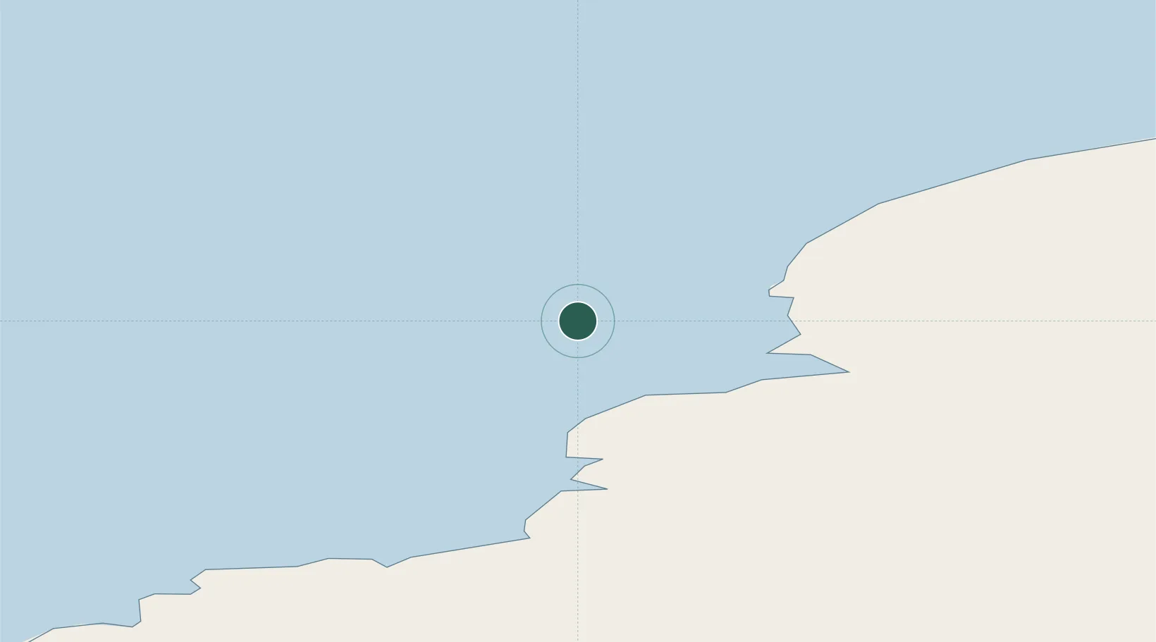
Location
Nearby Logistics Neighbours
Cities
- 1Zhongshan109 km
- 2Law Base111 km
- 3Progress112 km
- 4Mawson Station634 km
- 5Mirny674 km
Airports
- 1Vostok Skiway1398 km
- 2Albany Airport4476 km
- 3Busselton Margaret River Regional Airport4530 km
- 4Perth Jandakot Airport4711 km
- 5Perth International Airport4730 km
Trade Zones
- 1Ehoala Park5260 km
- 2Dube TradePort5267 km
- 3Dube TradeZone5268 km
- 4Dube AgriZone5269 km
- 5Durban Aerotropolis5272 km
DatabookThe Record of Consolidated Knowledge
Antarctica beyond logistics?