Transport Functions
Port
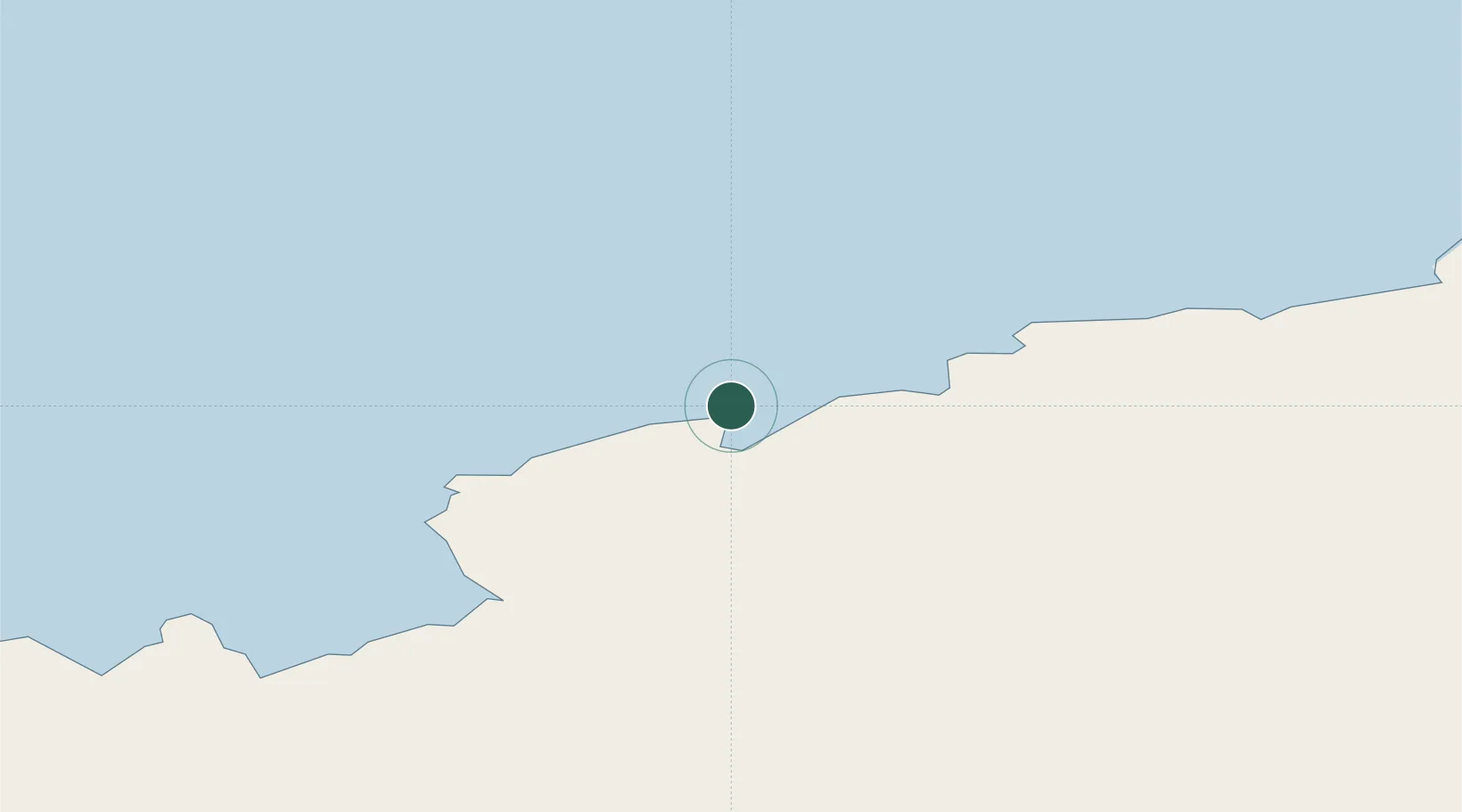
Location
Nearby Logistics Neighbours
Cities
- 1Zhongshan2 km
- 2Progress2 km
- 3Davis Station111 km
- 4Mawson Station584 km
- 5Mirny758 km
Airports
- 1Vostok Skiway1347 km
- 2Albany Airport4580 km
- 3Busselton Margaret River Regional Airport4636 km
- 4Perth Jandakot Airport4817 km
- 5Perth International Airport4836 km
Trade Zones
- 1Dube TradePort5261 km
- 2Dube TradeZone5262 km
- 3Dube AgriZone5263 km
- 4Durban Aerotropolis5266 km
- 5Ehoala Park5292 km
DatabookThe Record of Consolidated Knowledge
Antarctica beyond logistics?