Channel & Berth Profile
Pilotage, Tugs & Services
Pilotage compulsoryYES
Pilotage availableYES
Tug assistanceYES
Diesel bunkersNO
MedicalYES
Garbage disposalYES
Facilities & Capabilities
Container—
Ro-Ro—
Liquid bulk—
Dry bulk—
Oil terminal—
Break bulk—
Dry dock—
Repairs—
BunkeringNO
Rail link—
Dangerous cargo—
ISPS security—
Harbour Specifications
Harbour size
Small
Harbour type
Open Roadstead
Shelter
Poor
Water body
South Atlantic Ocean
Tidal range
1.9 m
Overhead limit
Yes
Pilotage
Yes
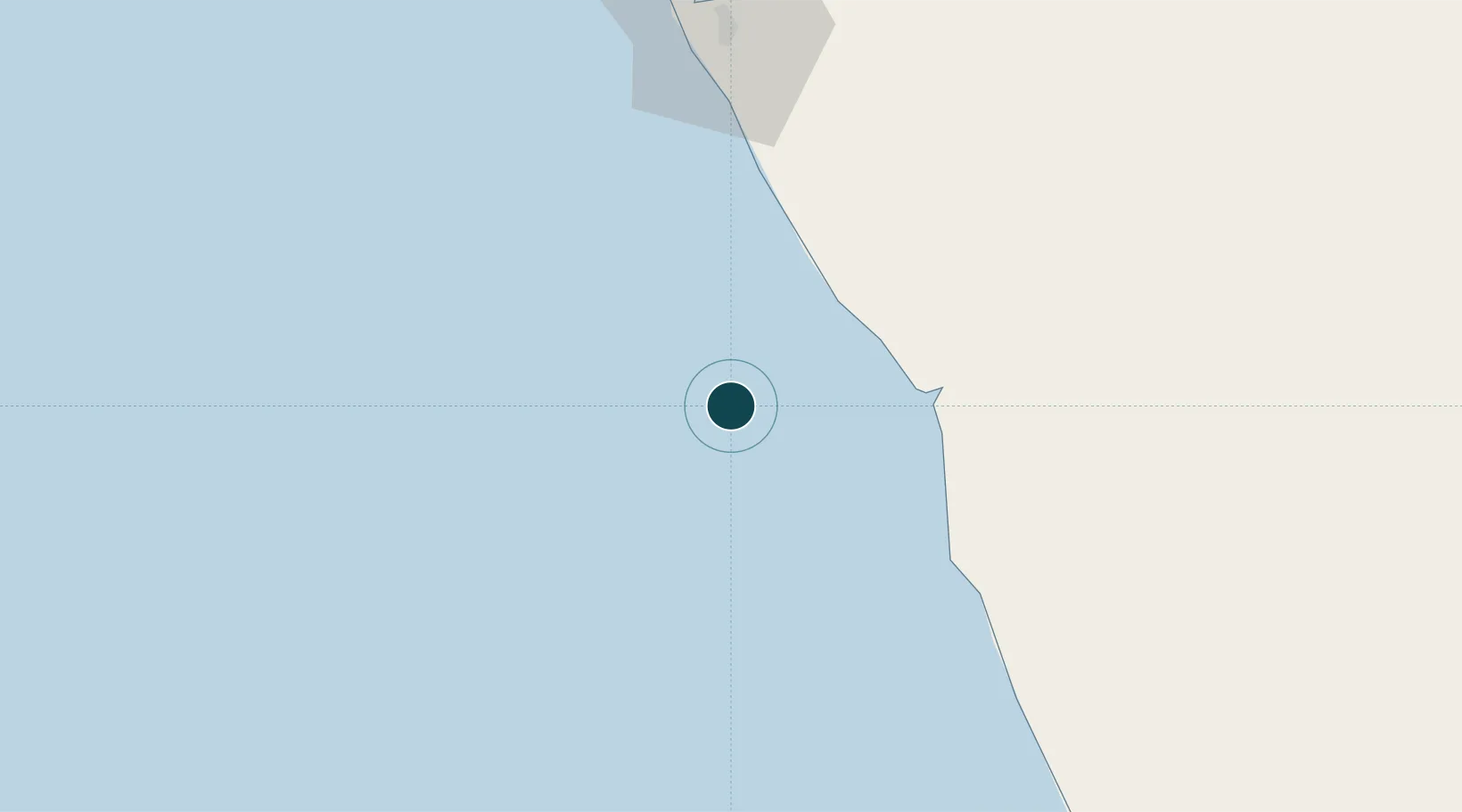
Location
Nearby Logistics Neighbours
Ports
- 1Soyo Angola Lng Terminal93 km
- 2Greater Plutonio Terminal104 km
- 3Dalia Terminal107 km
- 4Banana108 km
- 5Girassol Terminal111 km
Cities
- 1Lombo Terminal7 km
- 2N'Zeto (Ambrizete)61 km
- 3Gimboa70 km
- 4Essungo Terminal73 km
- 5Soyo92 km
Airports
- 1Soyo Airport90 km
- 2Cabinda Airport152 km
- 3Mbanza Congo Airport218 km
- 4Quatro de Fevereiro International Airport231 km
- 5Antonio Agostinho-Neto International Airport244 km
Trade Zones
DatabookThe Record of Consolidated Knowledge
Angola beyond logistics?