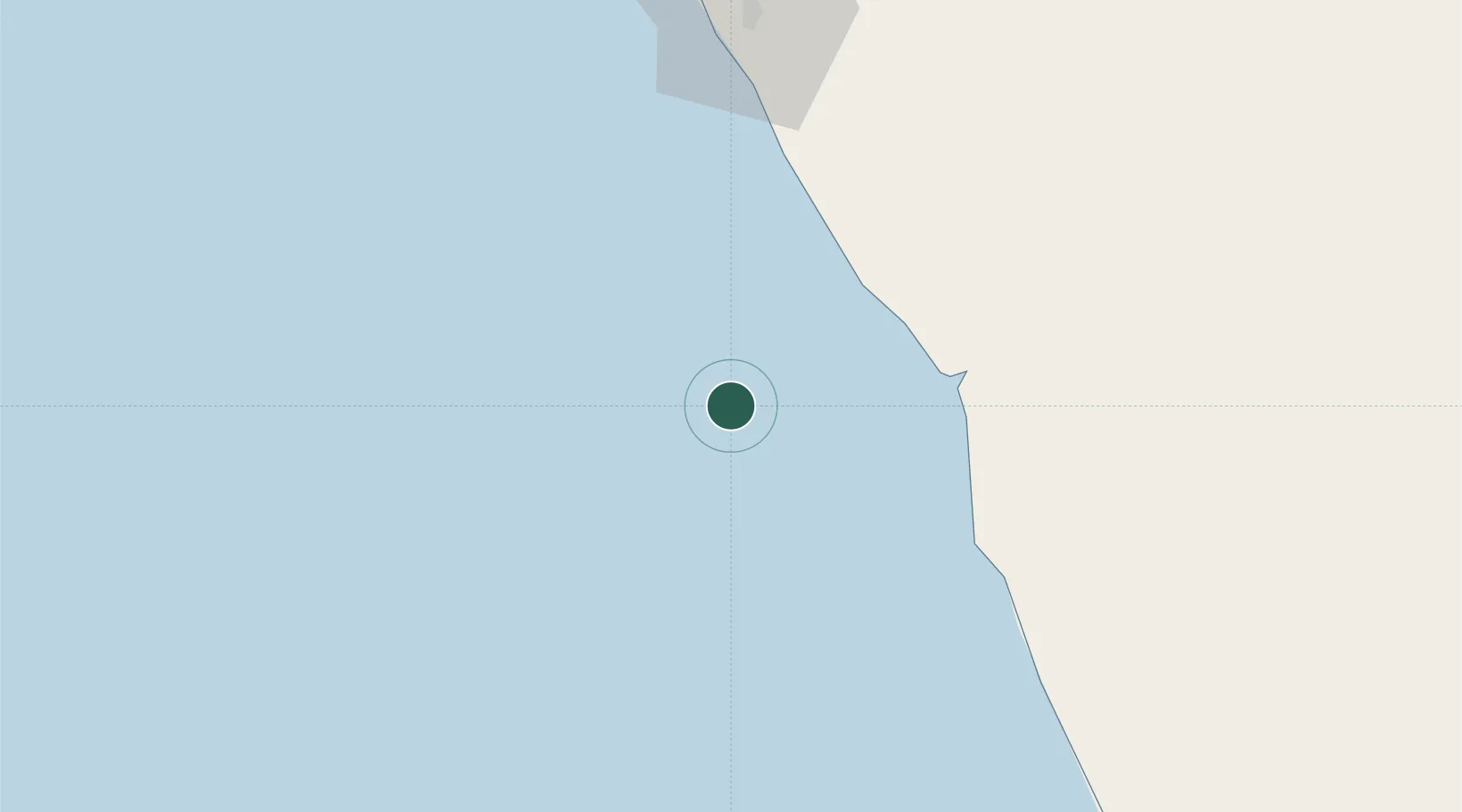
UN/LOCODE hub · Angola
AOLBT

Lombo Terminal

-6.9833°, 12.3500°
1
Transport functions

Transport Functions

Port
UN/LOCODE

Location

Location of AOLBT
Natural Earth 10m (public domain) · Zaire · AOLBT · -6.98, 12.35GoogleOSMYandex

Nearby Logistics Neighbours

Cities
  1. 1N'Zeto (Ambrizete)64 km
  2. 2Gimboa64 km
  3. 3Essungo Terminal75 km
  4. 4Soyo95 km
  5. 5Greater Plutonio98 km
Nearest neighbours — logibook spatial index (haversine) over the source coordinates
Ports
  1. 1Palanca Terminal7 km
  2. 2Soyo Angola Lng Terminal96 km
  3. 3Greater Plutonio Terminal99 km
  4. 4Dalia Terminal101 km
  5. 5Girassol Terminal104 km
Nearest neighbours — logibook spatial index (haversine) over the source coordinates
Airports
  1. 1Soyo Airport94 km
  2. 2Cabinda Airport155 km
  3. 3Mbanza Congo Airport224 km
  4. 4Quatro de Fevereiro International Airport230 km
  5. 5Antonio Agostinho-Neto International Airport246 km
Nearest neighbours — logibook spatial index (haversine) over the source coordinates
Trade Zones
  1. 1Fútila Industrial Development Pole174 km
  2. 2Luanda-Bengo Special Economic Zone246 km
  3. 3Pointe-Noire Special Economic Zone251 km
  4. 4Viana Industrial Development Pole252 km
  5. 5Brazzaville Special Economic Zone413 km
Nearest neighbours — logibook spatial index (haversine) over the source coordinates
DatabookThe Record of Consolidated Knowledge
Angola beyond logistics?
Browse databook

All Sources

LocationsUN/LOCODE
UN/LOCODE — free
Portsthe NGA World Port Index
Public domain (US gov)
AirportsOurAirports
Public domain
Trade Zonesthe World Bank SEZ database
CC BY 4.0
Trade ZonesOpen Zone Map
CC BY
← Angola locations