UN/LOCODE hub · Papua New Guinea
PGGUR
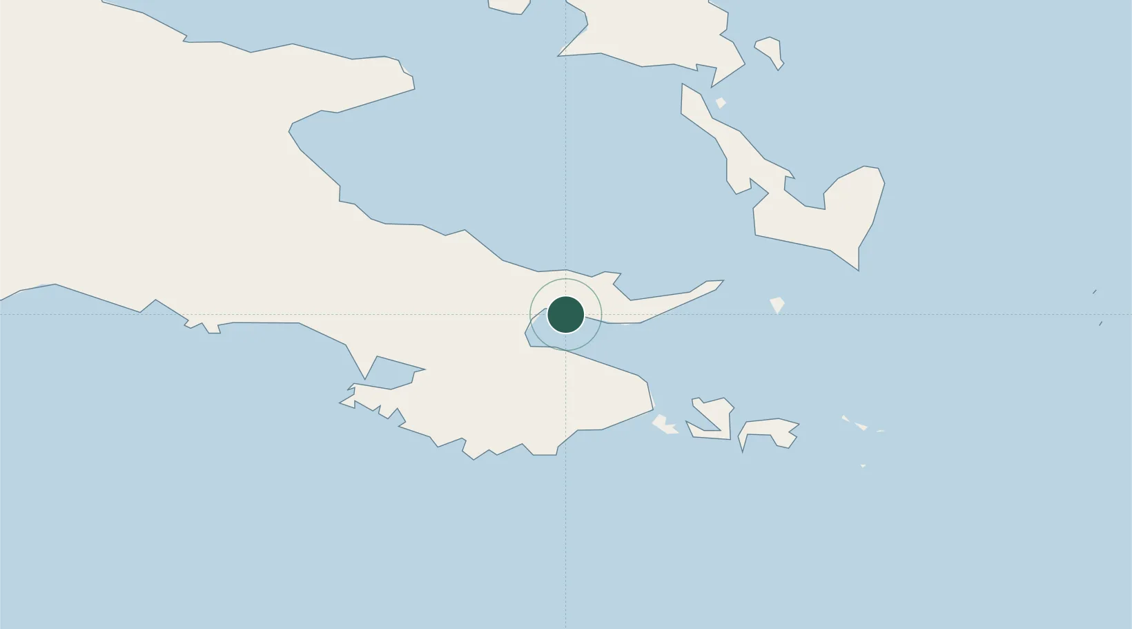
Alotau
-10.3158°, 150.4556°
10,025
Population
2
Transport functions
1
Container terminals
Transport Functions
Port
Airport
Hub Profile
Place type
Regional capital
Region
Milne Bay Province
Population
10,025
Time zone
Pacific/Port_Moresby
Elevation
11 m
Logistics facilities
1
Container terminals
1
Location
Nearby Logistics Neighbours
Cities
- 1Samarai40 km
- 2Conflict Group156 km
- 3Deboyne Lagoon219 km
- 4Kaibola223 km
- 5Gawa Island225 km
Ports
- 1Samarai41 km
- 2Oro Bay269 km
- 3Port Moresby376 km
- 4Lae551 km
- 5Bialla561 km
Airports
- 1Gurney Airport13 km
- 2Tufi Airport186 km
- 3Losuia Airport213 km
- 4Misima Island Airport264 km
- 5Girua Airport289 km
Trade Zones
DatabookThe Record of Consolidated Knowledge
Papua New Guinea beyond logistics?