Small airport · Australia

Coconut Island AirportYCCT
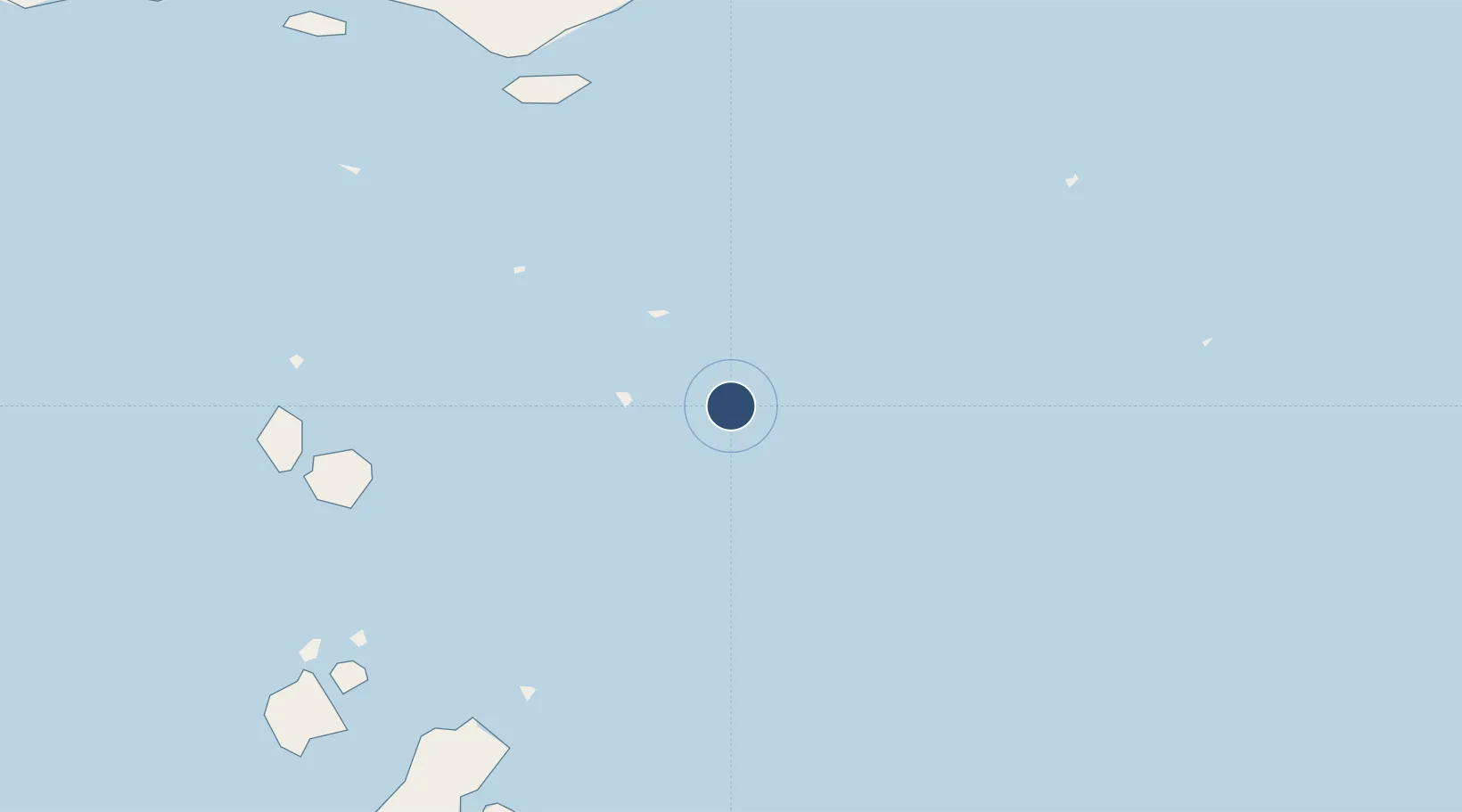
-10.0501°, 143.0700°
2,395 ft
Longest runway
1
Runways
3 ft
Elevation

Runway & Layout

Coconut Island Airport runway & taxiway layout
Runway & taxiway layout — OpenStreetMap (ODbL) / OurAirports

Radio Frequencies

CTAF
126.7 MHz
MISC
122.2 MHz
MISC
125.8 MHz
OurAirports

Runways · 1

RunwayDimensions SurfaceTrue headingLit
09/27 2,395 × —ft N
OurAirports

Airport Specifications

IATA code
CNC
OurAirports
ICAO code
YCCT
OurAirports
Airport class
Small airport
OurAirports
Scheduled service
Yes
OurAirports
Runway surface
N
OurAirports

Location

Location of YCCT
Natural Earth 10m (public domain) · Queensland · YCCT · -10.05, 143.07GoogleOSMYandex

Nearby Logistics Neighbours

Airports
  1. 1Warraber Island Airport32 km
  2. 2Yam Island Airport37 km
  3. 3Yorke Island Airport49 km
  4. 4Saibai Island Airport89 km
  5. 5Darnley Island Airport94 km
Nearest neighbours — logibook spatial index (haversine) over the source coordinates
Cities
  1. 1Dalrymple Islet56 km
  2. 2Saibai89 km
  3. 3Boigu Island128 km
  4. 4Booby Island140 km
  5. 5Skardon River221 km
Nearest neighbours — logibook spatial index (haversine) over the source coordinates
Ports
  1. 1Daru110 km
  2. 2Thursday Island111 km
  3. 3Kumul272 km
  4. 4Weipa319 km
  5. 5Merauke343 km
Nearest neighbours — logibook spatial index (haversine) over the source coordinates
Trade Zones
  1. 1Ihu Special Economic Zone350 km
  2. 2Paga Hill Estate Special Economic Zone451 km
  3. 3Western Province Special Economic Zone477 km
  4. 4Morobe Agricultural Special Economic Zone483 km
  5. 5Nadzab (Momase) Special Economic Zone562 km
Nearest neighbours — logibook spatial index (haversine) over the source coordinates
DatabookThe Record of Consolidated Knowledge
Australia beyond logistics?
Browse databook

All Sources

AirportsOurAirports
Public domain
Portsthe NGA World Port Index
Public domain (US gov)
LocationsUN/LOCODE
UN/LOCODE — free
Trade Zonesthe World Bank SEZ database
CC BY 4.0
Trade ZonesOpen Zone Map
CC BY
InfrastructureOpenStreetMap
ODbL 1.0
← Australia airports